This is part two of my bikepacking Annapurna Circuit journal, which will cover the high to very high altitude sections, climate variations from tropical to snow and arid desert conditions, and also local socio-structure changes from Nepali to Tibetan culture.
To recap from Part 1, my journey continues from Chame, the administrative capital of Manang District.
Day 5: Chame (2,710m MSL) – Lower Pisang (3,250m MSL) – Upper Pisang (3,310m MSL) – Braka (3,450m MSL)
I woke up early and didn’t feel as fresh due to interrupted sleep from the Diamox side effects and mostly due to big temperature drops and altitude changes. After finishing breakfast of Tibetan bread and black tea, I headed out from Chame through the big gate.
After several kilometres, you will arrive at Bratang, famous for its apple farm. There’s a fancy restaurant on the left side of the main road that serves proper apple crumble and machined coffee. I had a nice chat with the owners over coffee before heading off via the sculpted road and many of the suspension bridges across the Marsyangdi River.
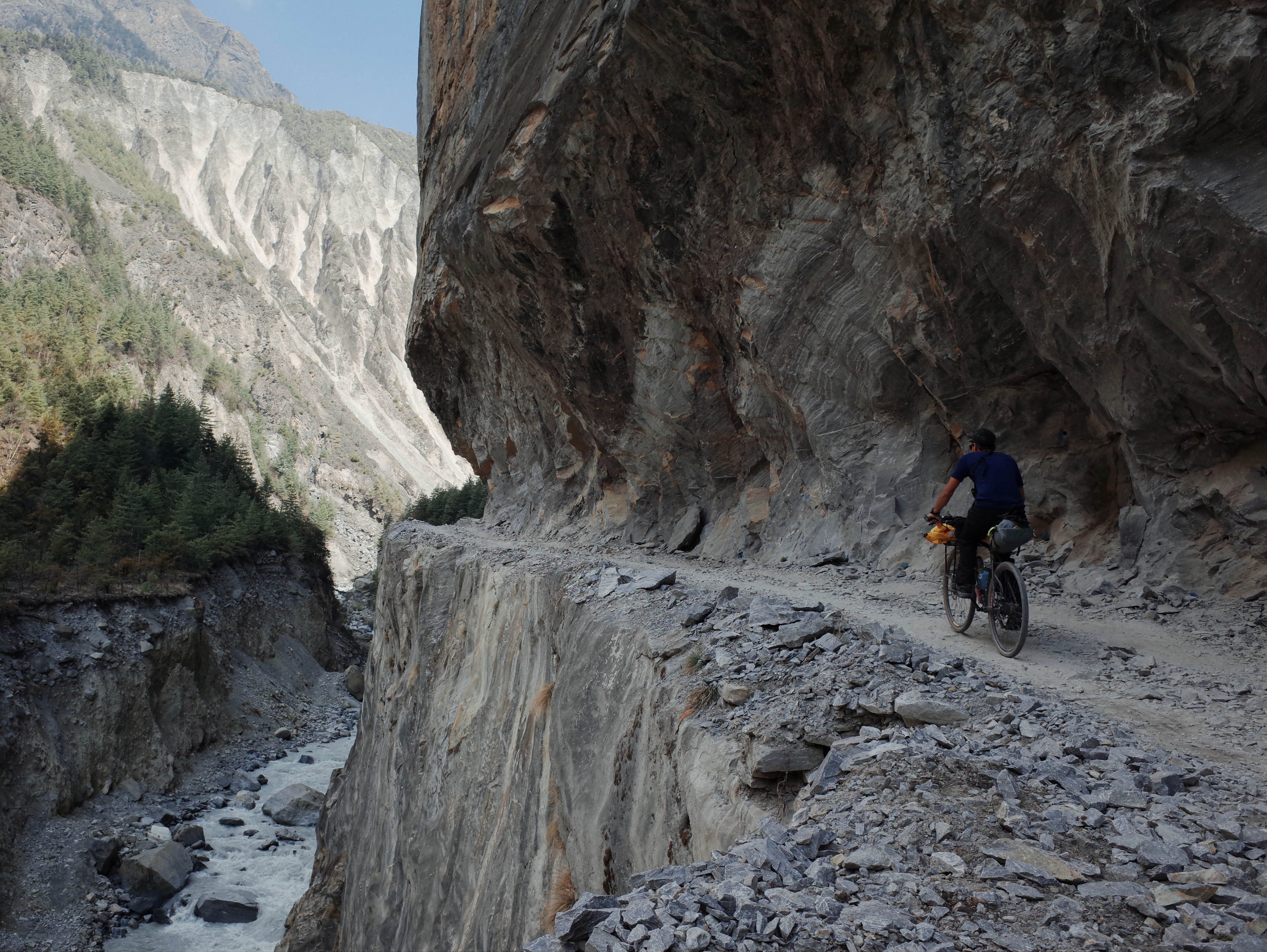
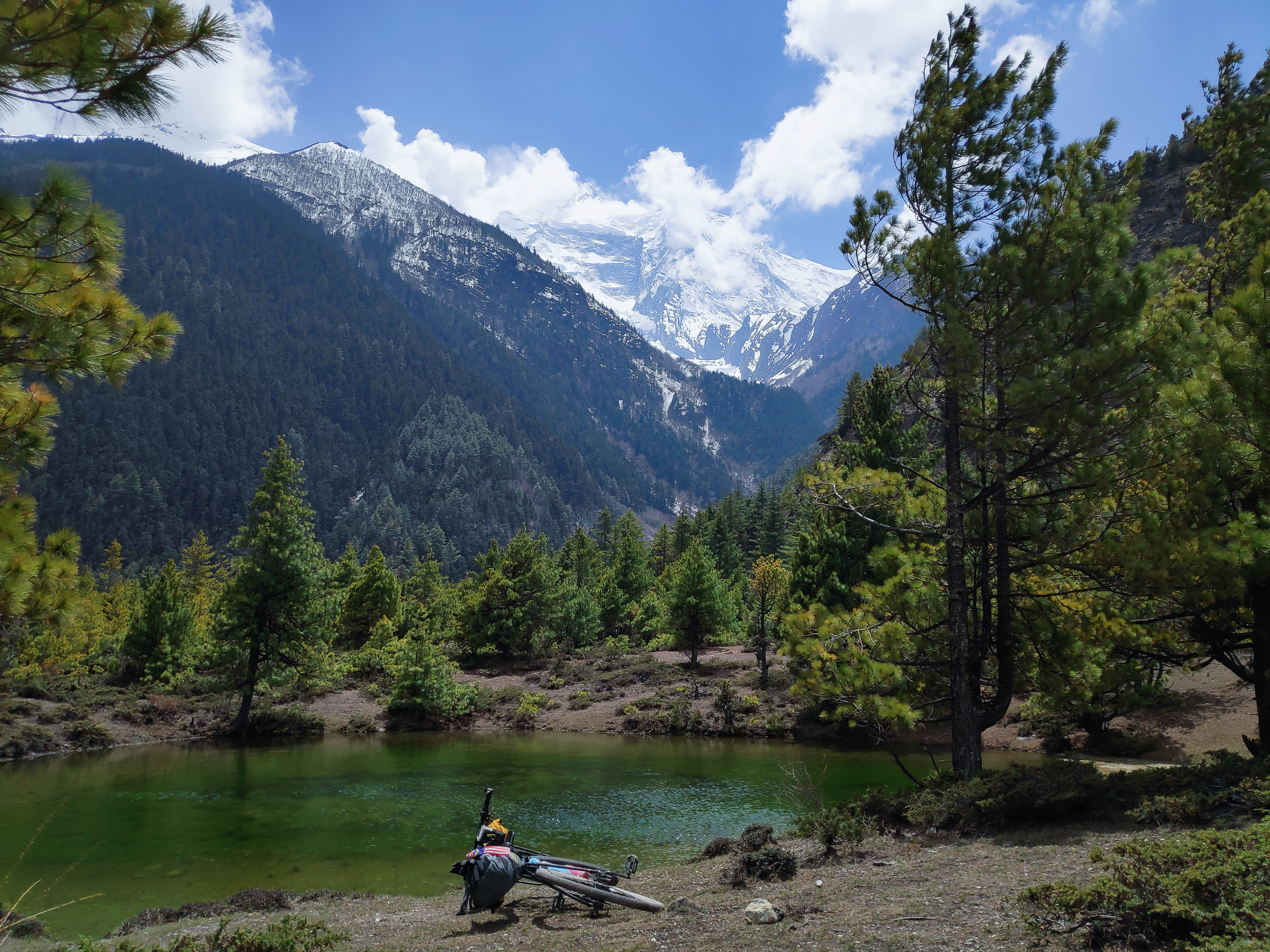
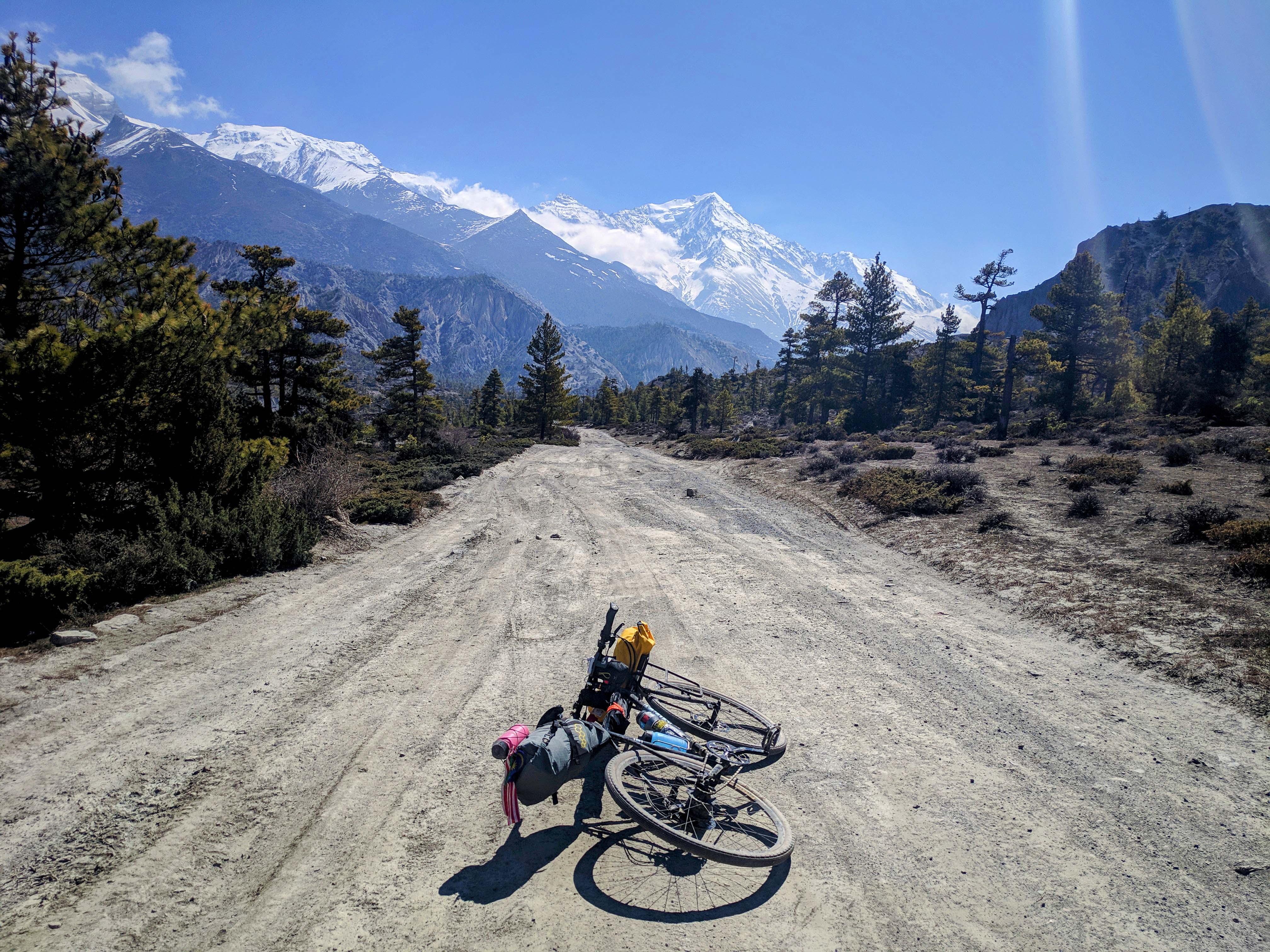
After this section, you will enter a village called Dhukur Pokhari where I experienced my first (and only) puncture. The journey continues after a quick tube patch into the alpine forest with pine trees, multiple climbs and several switchbacks before reaching a prairie-like area with lakes and a flat stretch of empty village called Lower Pisang.
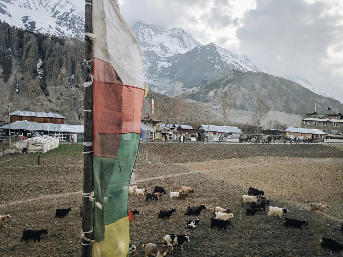
Almost all of the guesthouses and restaurants here were empty. I soon found out that businesses are concentrated on the upper side (Upper Pisang) due to the more scenic view which naturally attracts more trekkers. I parked my bike at the foot of the long stairs and hiked up to Upper Pisang for my lunch break.
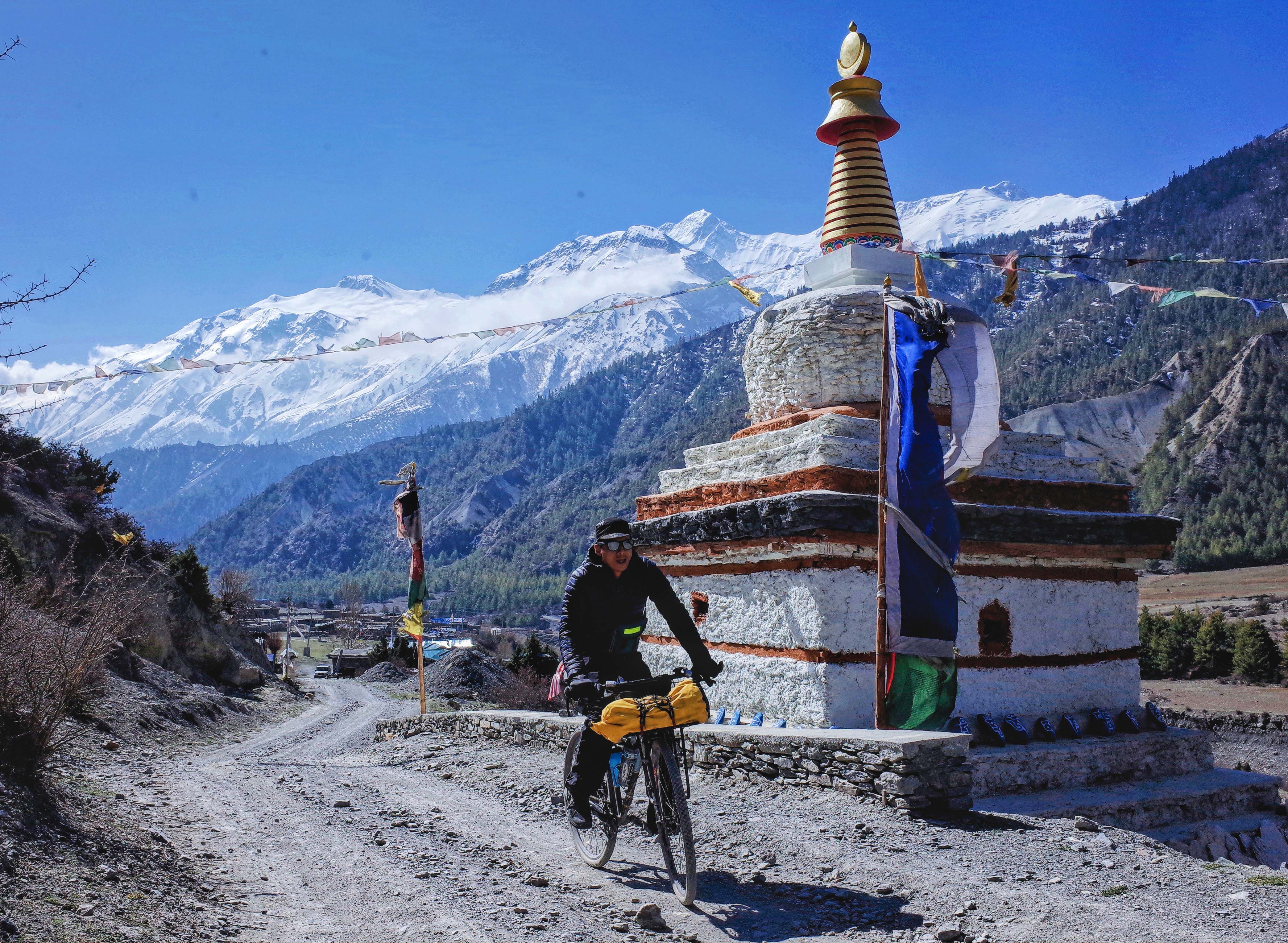
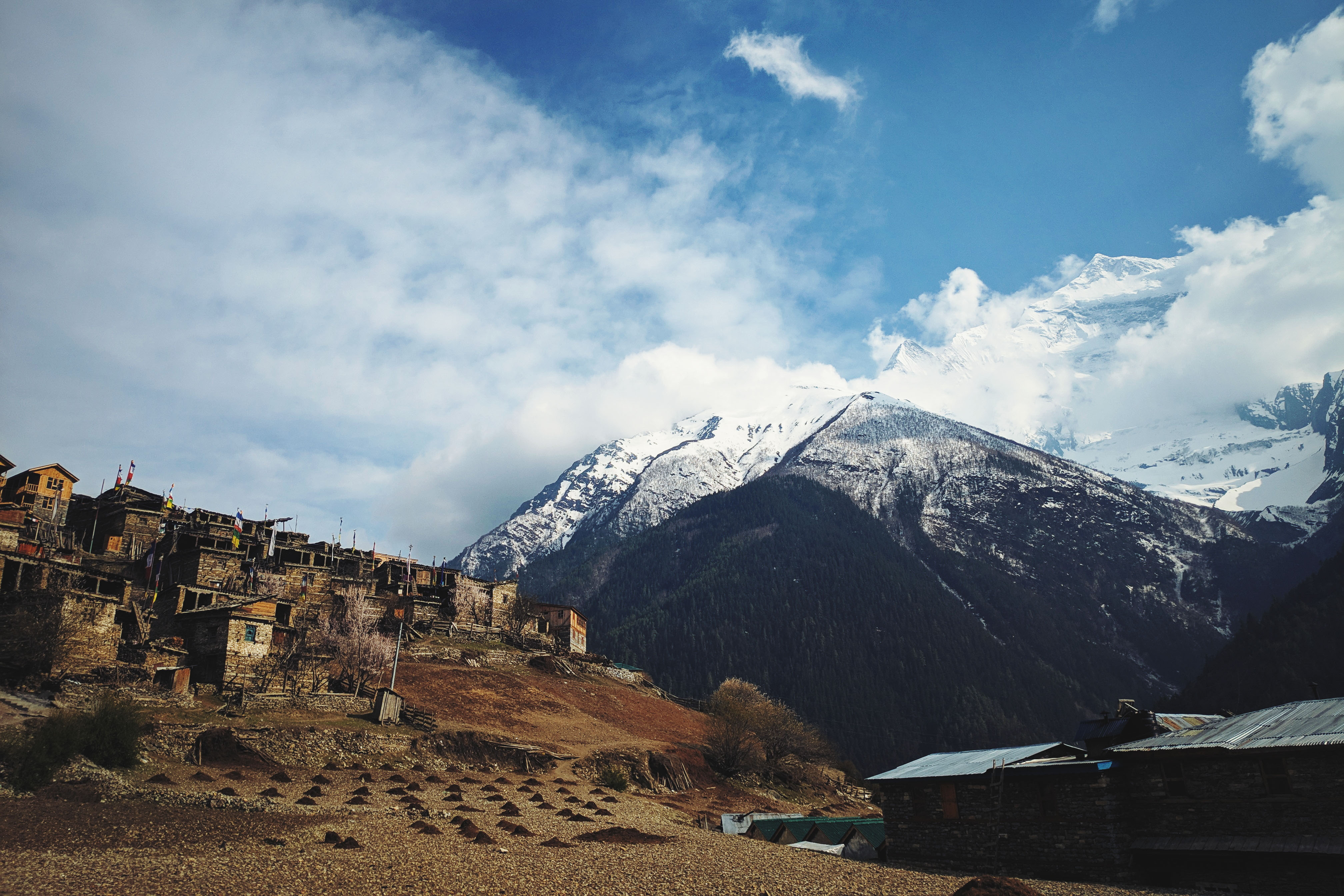
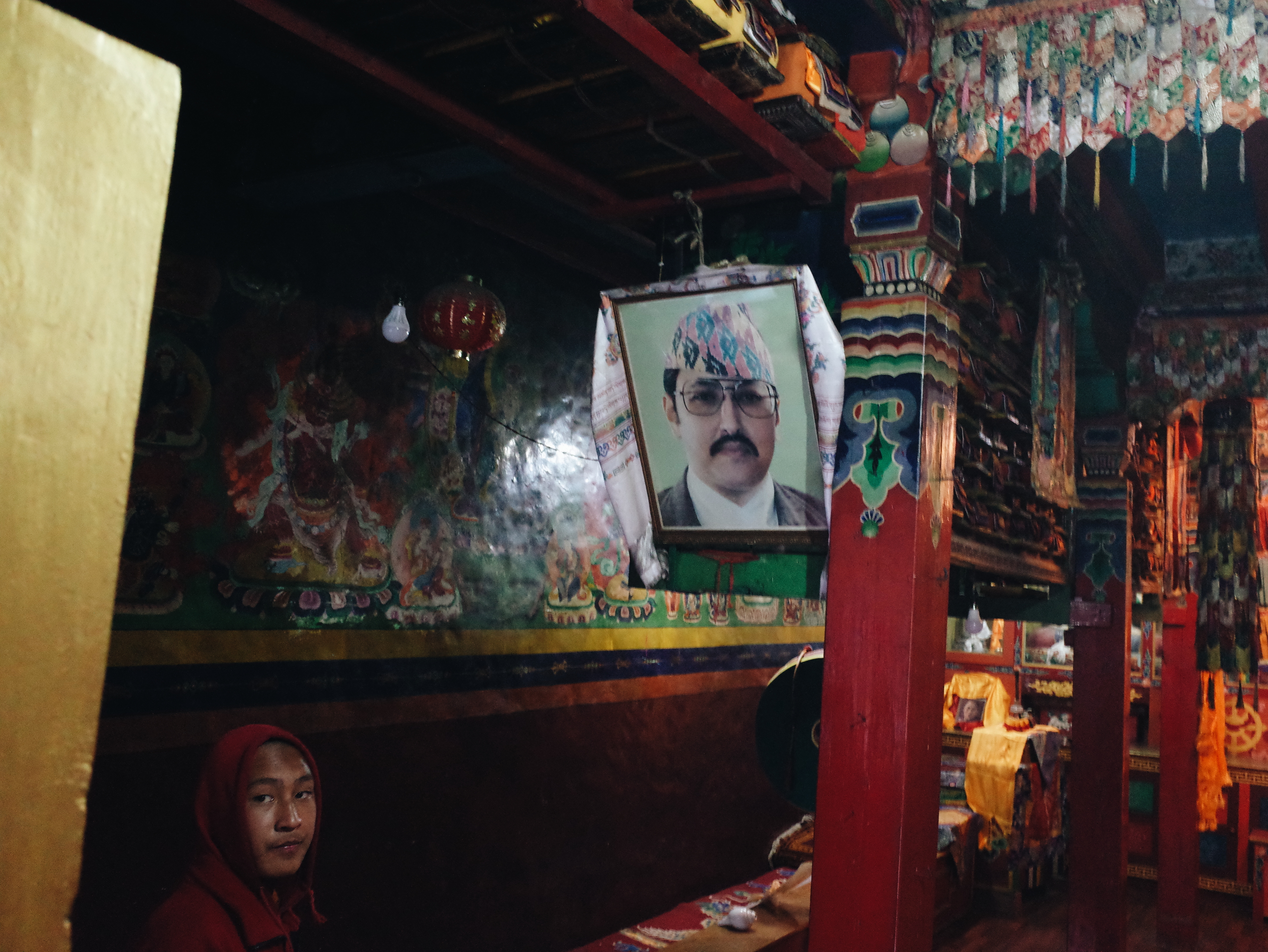
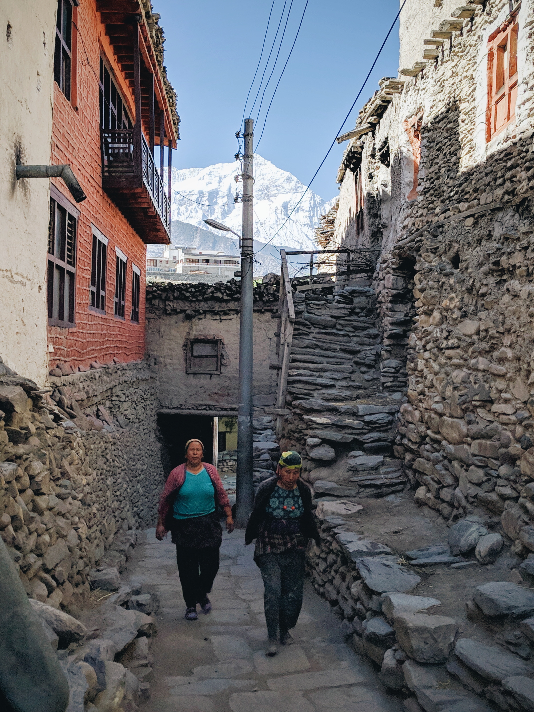
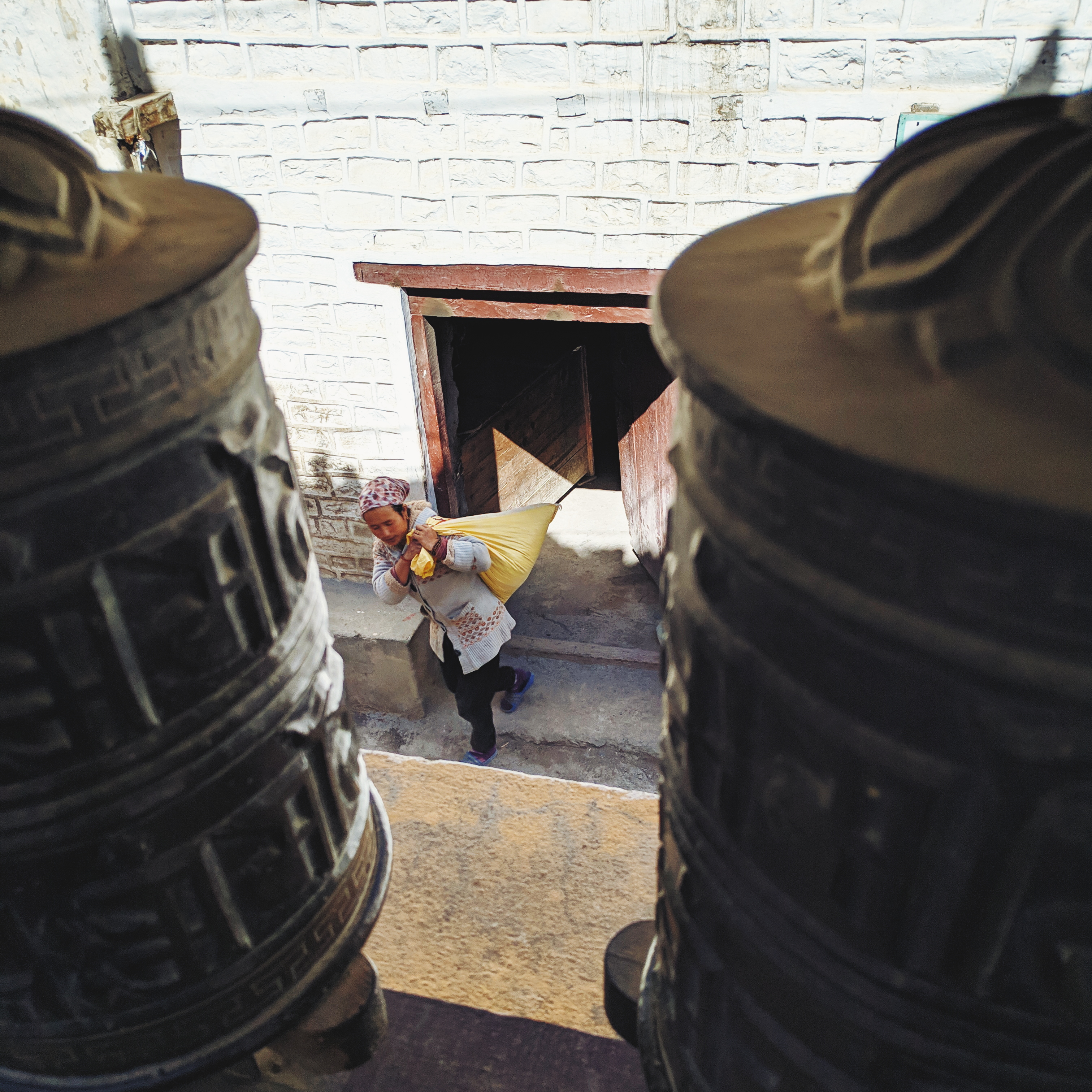
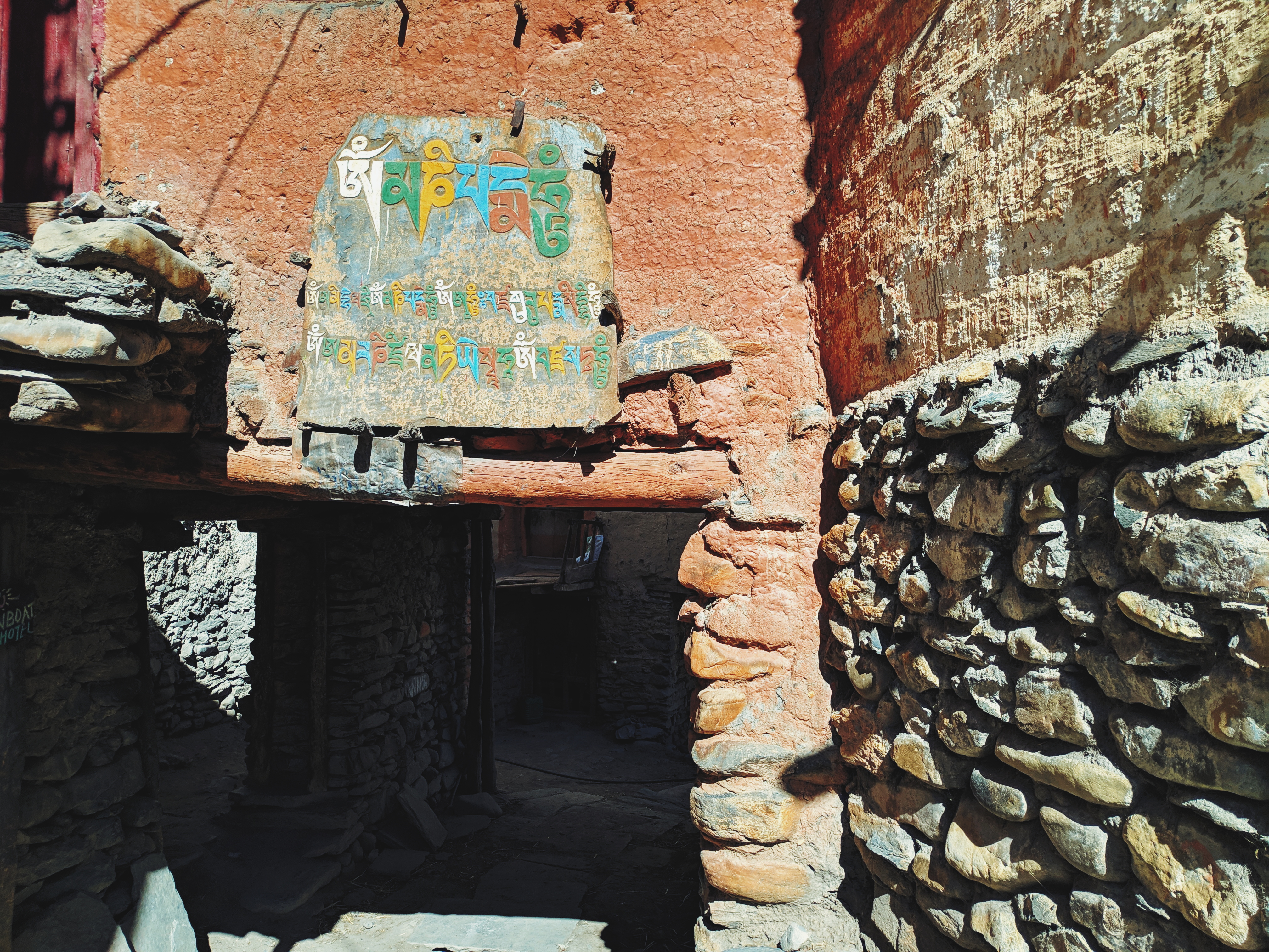
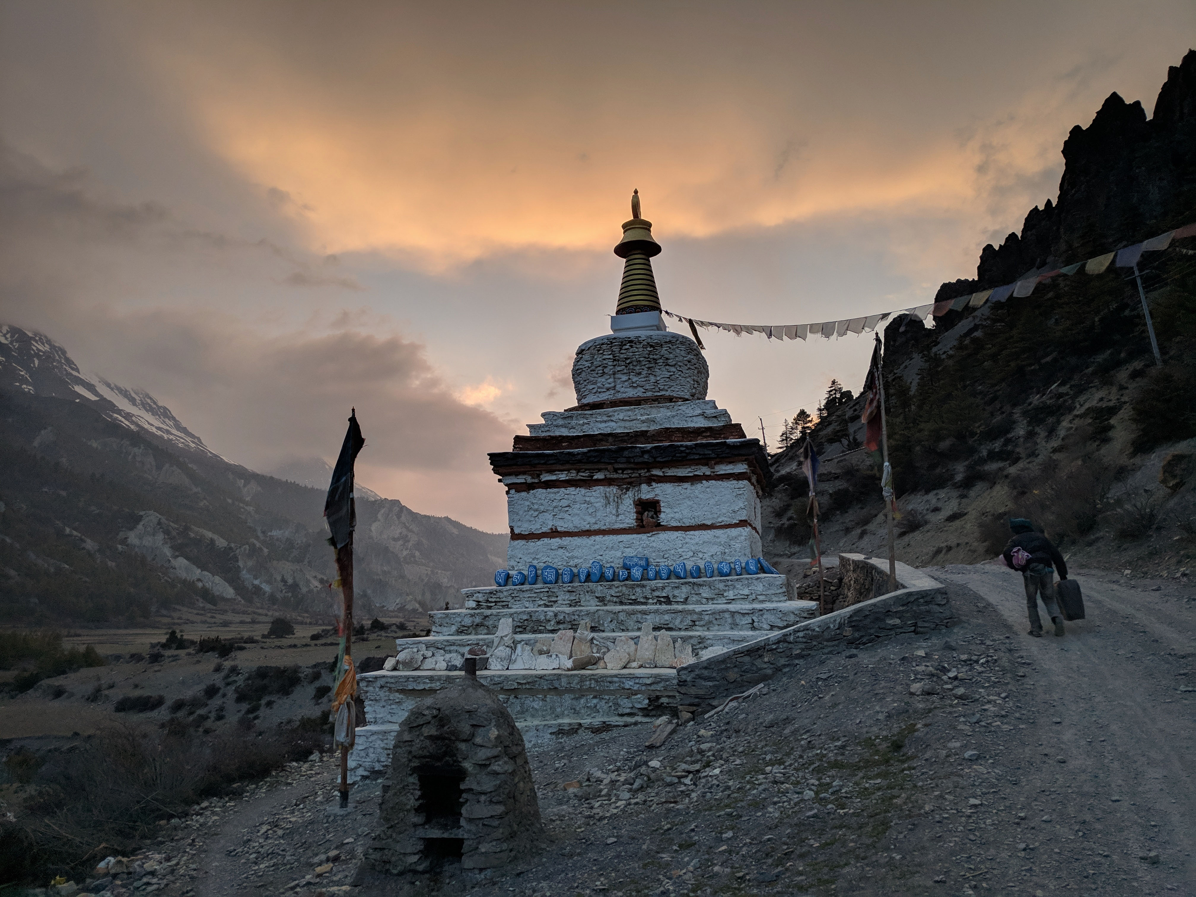
There is a huge monastery at the very top of Upper Pisang village with a majestic view of Annapurna 2. Starting from this area, the Tibetan influence gets more pronounced – prayer flags were erected and laid almost on all buildings and this monastery was the first big one among many onwards. On hindsight, I would redo the journey via the Ghyaru-Ngawal section instead – it’s a bit tougher on a bicycle as it is more technical and higher altitude-wise.
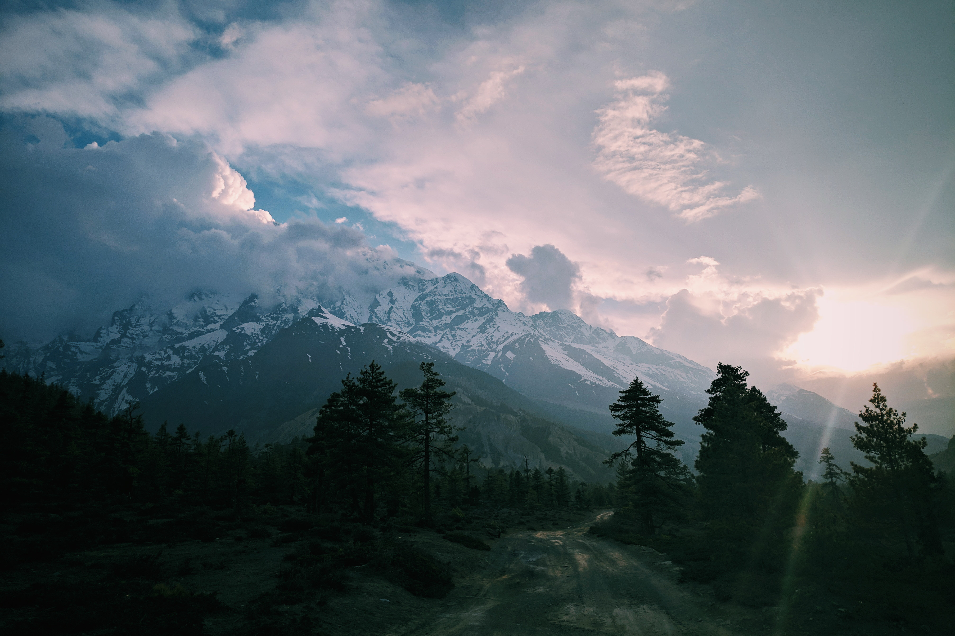
By the time I was basking in the views, clouds had already built up and obscured the famous Annapurna 2 mountain face. I continued riding through the airstrip near Humde, and reached Braka around dusk to check myself into Hotel New Yak. This area was busier as trekkers usually spend two days or more acclimatising before going into the 4,000m+ elevation zone past Manang, hence the rooms in most guesthouses were not available anymore.
Day 6 – Acclimatisation Day: Braka (3,450m MSL) – Manang (3,540m MSL)
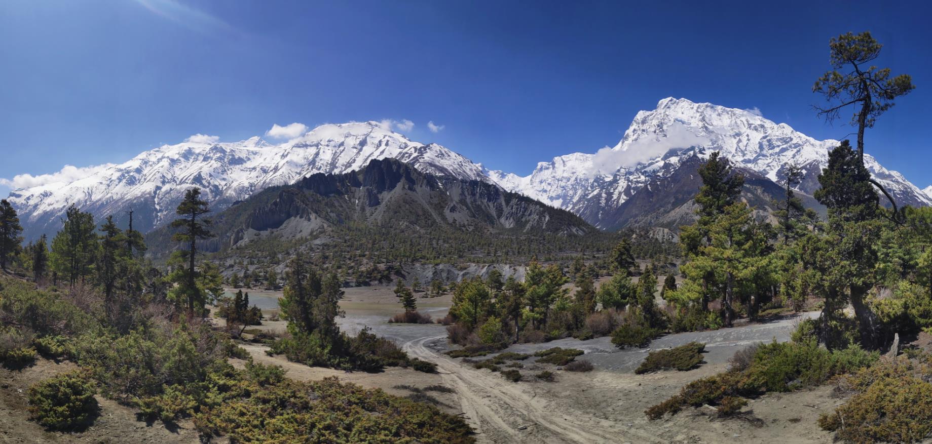
I snoozed quite early, waking up for a sunrise ride backtracking to Ngawal before having Tibetan bread and sea buckthorn juice for breakfast. The next stayover would be a short ride to Manang (2km). As we were above 3,000m MSL elevation, extra rest days and topping up on carbohydrates were essential in moving upwards.
I stumbled upon a helicopter flying over the mountain and later found out that it was a medical evacuation for the Malaysian climber Dr Chin, who initially summited Annapurna 1 before losing contact with his group during descent. He was found at 7,500msl, survived, and rescued by the famous Nirmal Purja (who was on his Project Possible 14 x 8000ers expedition) but sadly passed away two weeks later in Singapore. I remember that was the first of many casualties in the Himalayan region for the 2019 climbing season.
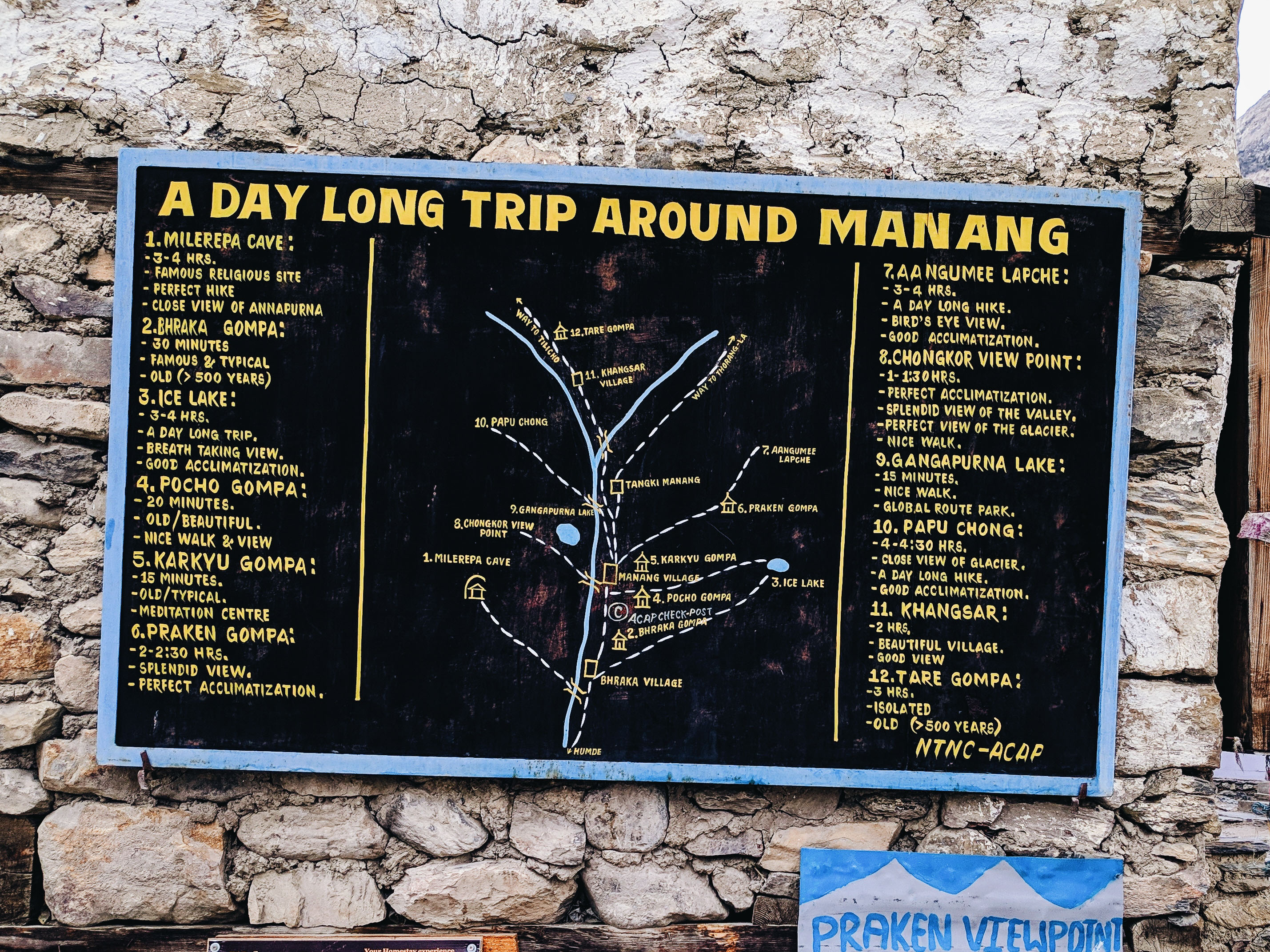
The short ride to Manang meant I had the whole afternoon to take it easy; so I didn’t go for the available side tracks to Praken Gompa, opting to explore within the village instead.
I arrived by lunchtime and secured myself at Himalayan Singi before the mass arrival of trekkers. This is the important part, I would suggest choosing the hostels on the right side as you enter Manang to enjoy the full view of Annapurna III, Gangapurna glacier, and the Gangapurna. There are fancy places on the left side of the village, but being at the foot of those mountains, you wouldn’t be able to see the full expanse of the panoramic landscape.
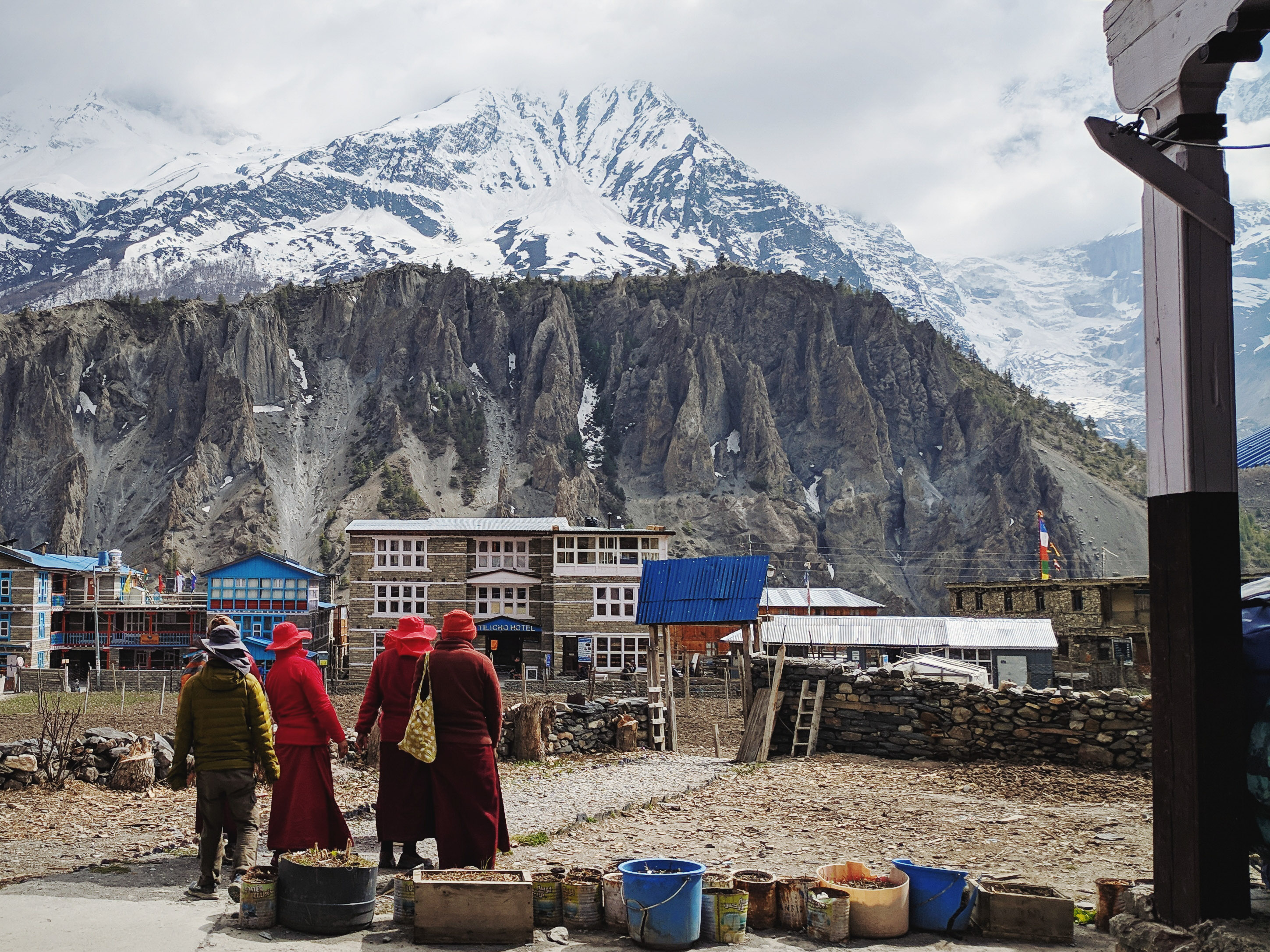
There are several activities here that can fill up the day. Head to the hospital complex (blue roof) as volunteers and medical personnel will conduct free talks at 1500 hours about acute mountain sickness (AMS) and you can have a free SPO2 test to measure blood oxygen level.
Manang also has several makeshift cinemas projecting Seven Years in Tibet, Everest, and other mountain-related movies, as well as nice cafes serving proper coffee. Alternatively, free activities such as hiking the hills for the viewpoint and gaining some elevation before returning can aid your acclimatisation – go high and sleep low.
This was also the last point to shop for gears and other major supplies. I was told by several trekkers that I would need gaiters and crampons for Thorong La. I didn’t even know what those were, but decided to go on with my normal North Face shoe and the locally made Yak wool snowcap I bought at one of the shops.
The day was set by proper carbo-loading – several rounds of pasta, topped with lots of garlic soup and washed down with Coke. I dozed quite early as the temperature was getting colder and you could actually feel your body responding to the elevation.
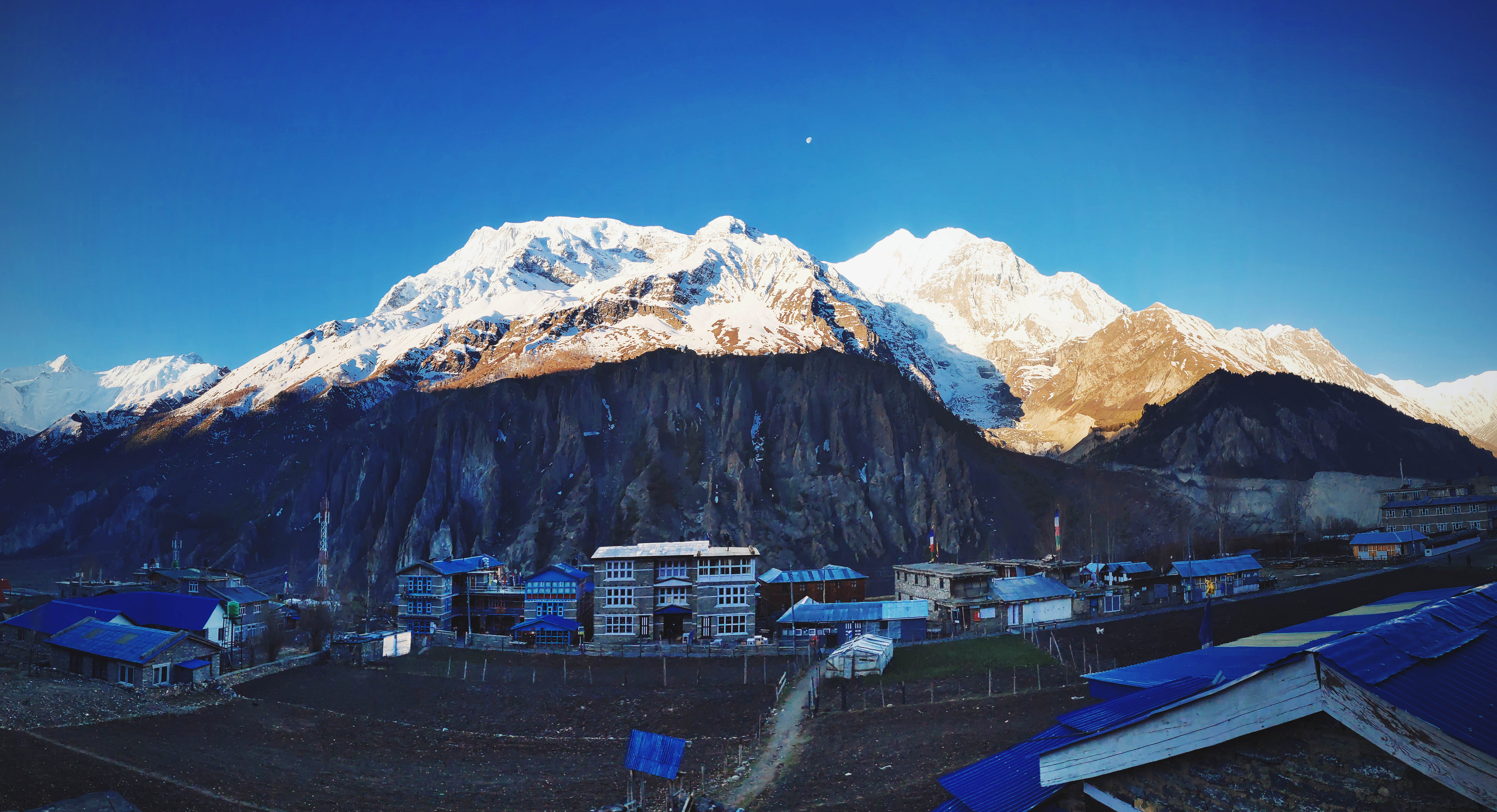
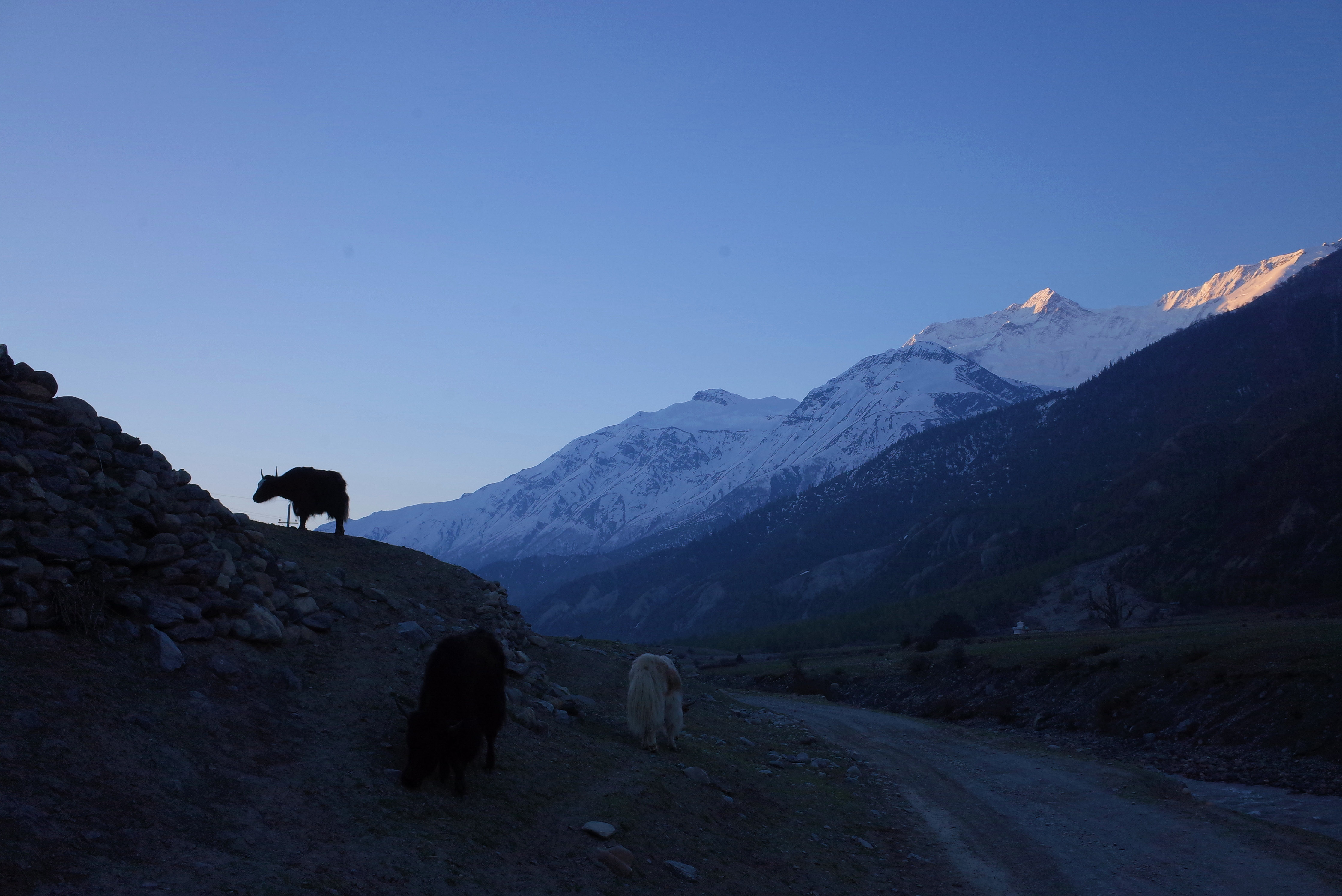
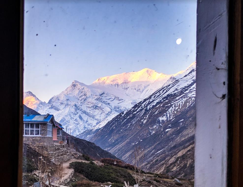
I woke up before sunrise and walked up to the rooftop, witnessing the most beautiful sunrise where the sun glossed the top part of Annapurna III and Gangapurna while the ground remained dark. For breakfast, I had the famous Tsampa-Barley porridge, which was not really appealing but packed with energy. Then, I rolled out from Manang to enter the 4,000-plus elevation zone.
Day 7: Manang (3,540m MSL) – Yak Kharka (4,050m MSL)
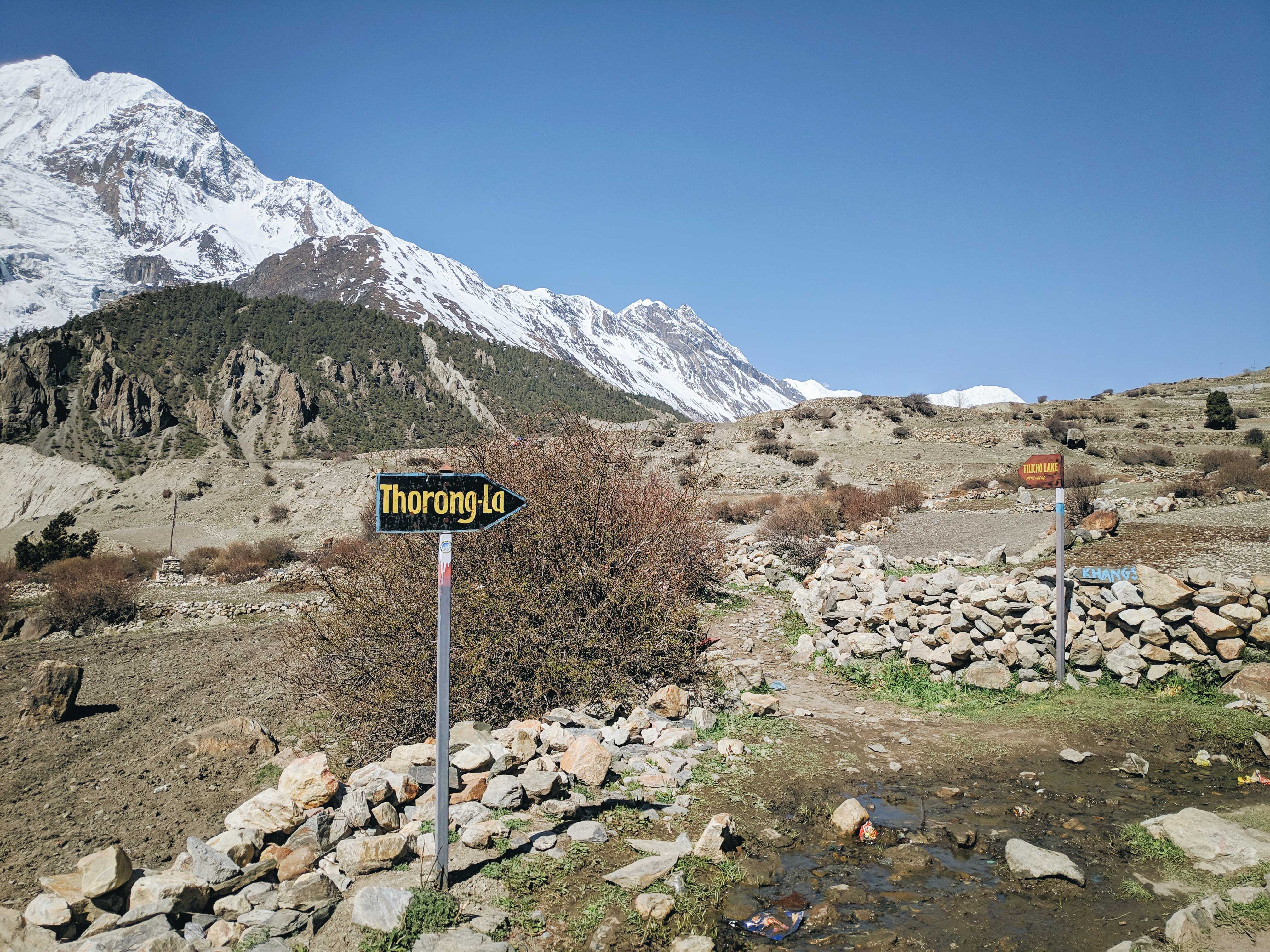
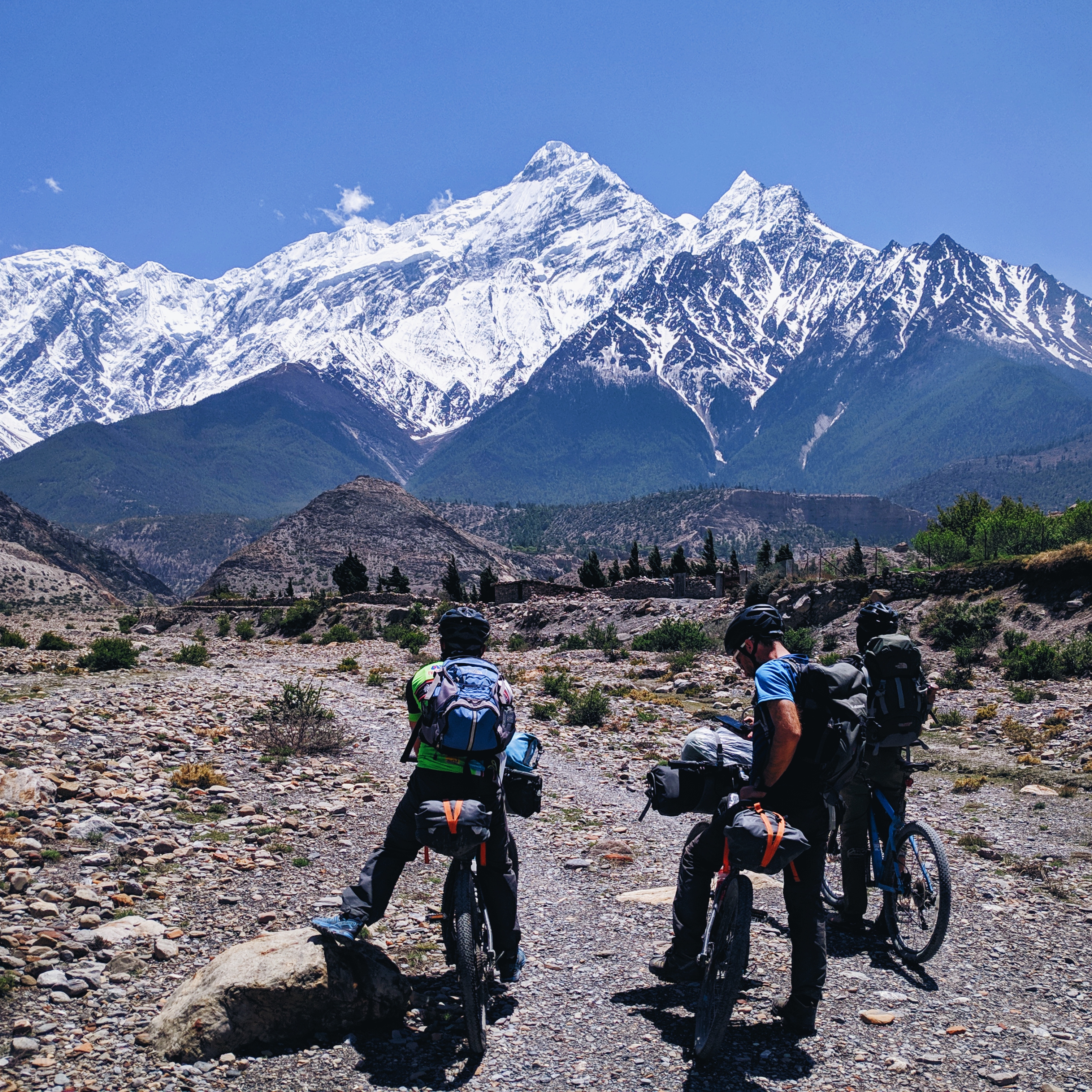
I didn’t show any signs or symptoms of AMS when I left late in the morning. At the main intersection route to Thorong La and side trek to Khangsar/Tlicho Lake, I spotted my two Italian friends on MTB, the Francescos from Part 1 (Jagat section). It seemed that they had returned from their original Tilicho Lake excursion due to bad weather resulting in injured trekkers from flying rocks at the infamous landslide area. After a quick chat, we decided to ride together onwards.
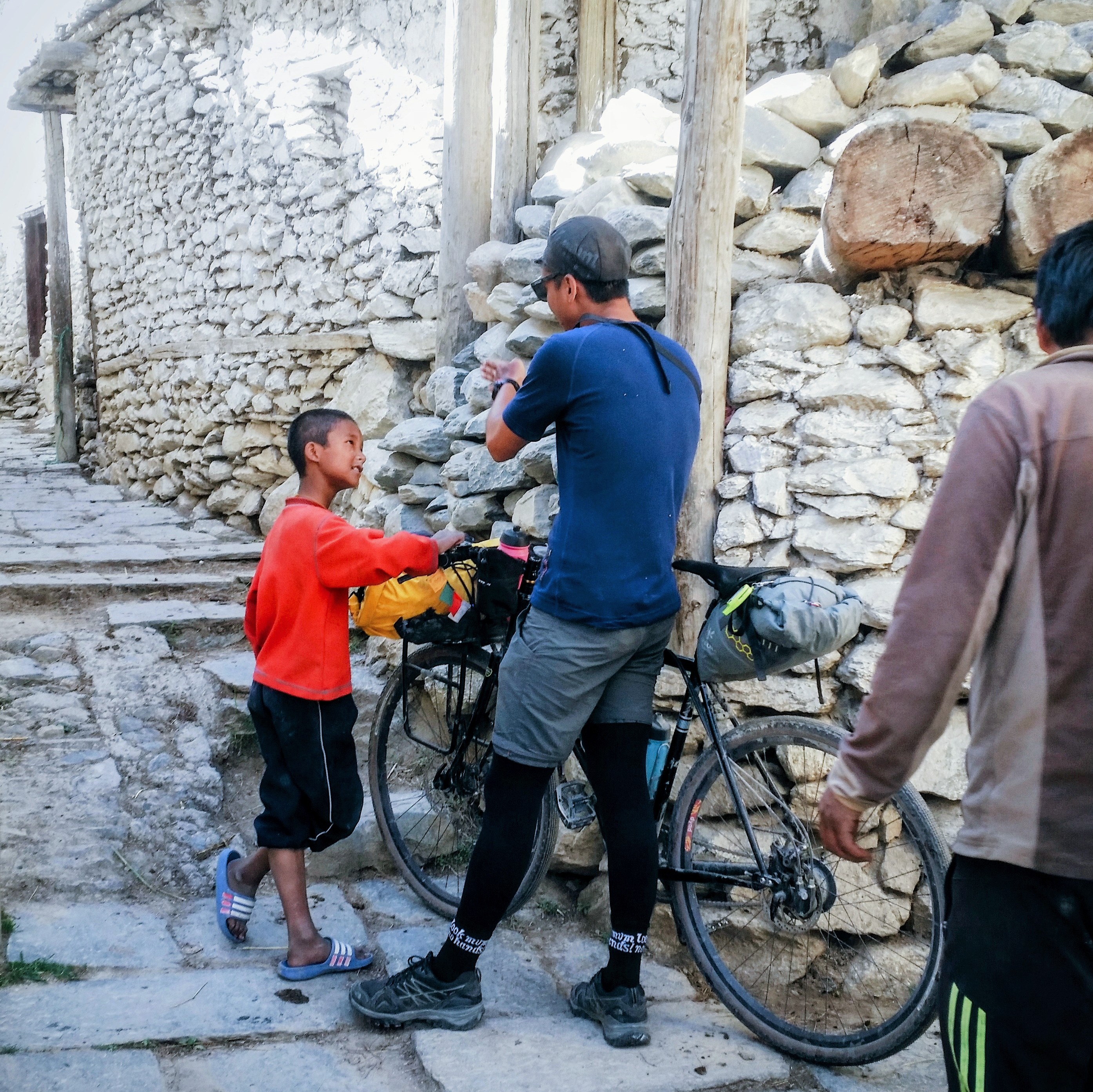
It was only a 10km steady climb for us but the effect from high altitude was pronounced starting from this section. I started pushing the bike not because of terrain technicality, but due to lack of oxygen from each breath. It was like no matter how deep or frequently you inhaled, you can’t fill up your lungs. Nevertheless, we reached Yak Kharka’s Gangapurna Lodge with enough time to perform the routine acclimatisation walk. The Francescos got some Yak cheese and salami from a local seller for the extra fat needed for the final push later.
As usual, more trekkers arrived late in the afternoon and the common space was packed in the evening. We were joined by Tommi and Mathilde during dinner and they shared the story of hitting AMS in Manang and backtracked to Lower Pisang for a couple of days to recuperate and acclimatise before resuming the trek. The significance of this story was only realised on Thorong La summit day later on.
The people from this section onwards will mostly be the same company that will summit Thorong La, as the remaining section is only Thorung Phedi (you can opt to stay at Base Camp or High Camp). Yak Kharka is also the last point where phone and WiFi signals are stable so take the opportunity to communicate any necessary updates as you may not be able to do so further until you reach Muktinath.
Day 8: Yak Kharka (4,050m MSL) – Thorong Phedi (4,540m MSL)
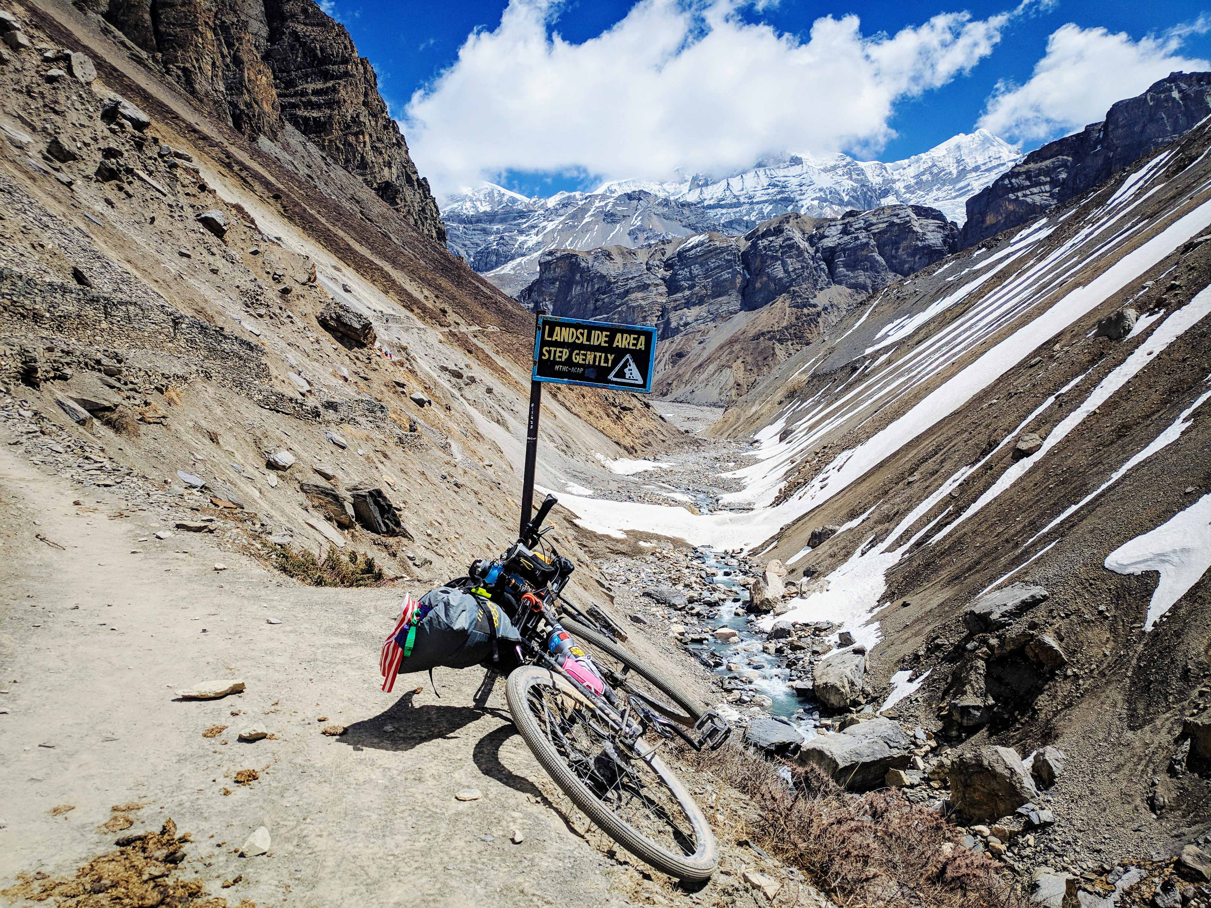
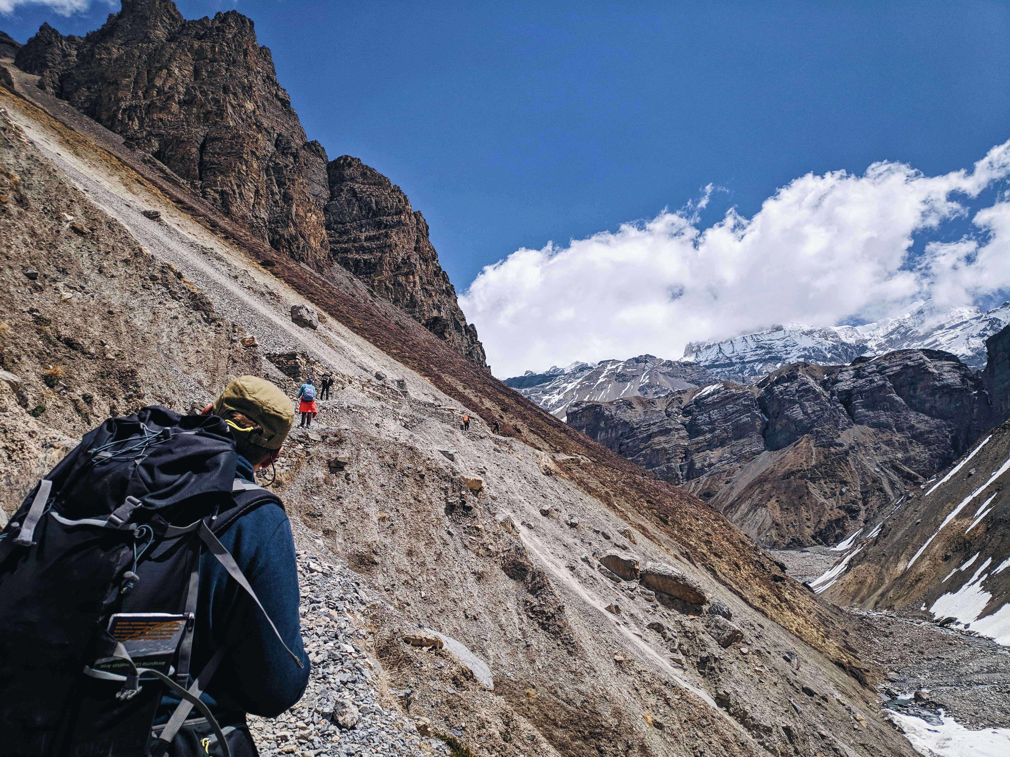
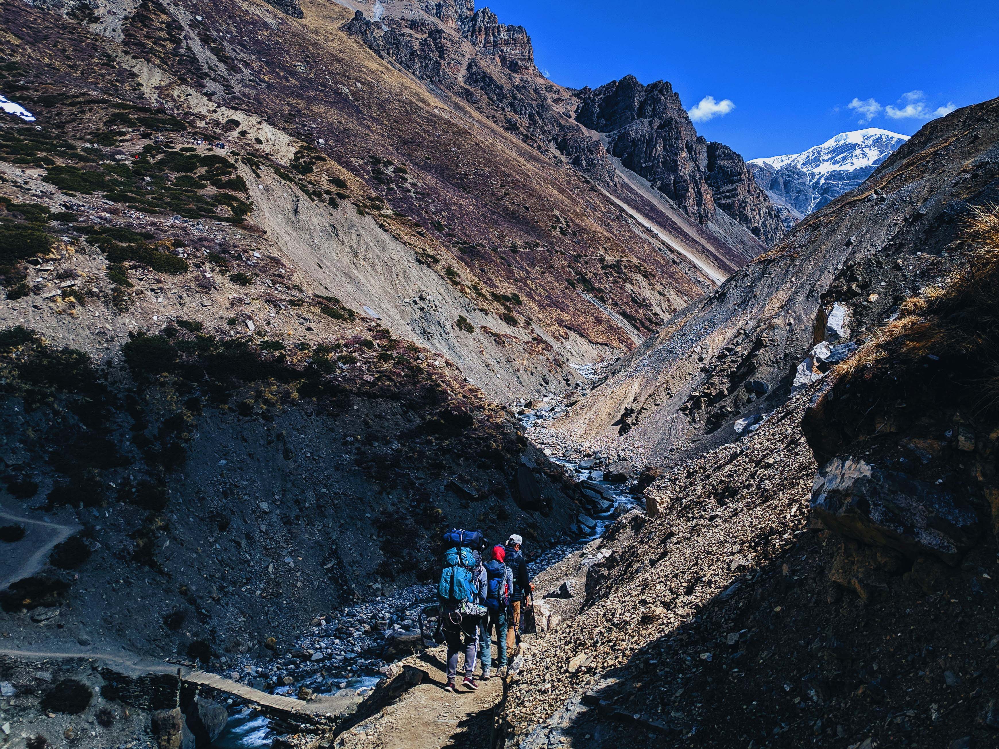
We rolled out after 10am with enough time to arrive at Thorung Phedi by evening. The effect of high altitude crept up on us and the trail became more technical with several narrow switchbacks, up and downs, and bridge crossings. We had a lunch break at Churi Letdar with other trekkers and porters before approaching the landslide area, which is the last technical section approaching Base Camp.
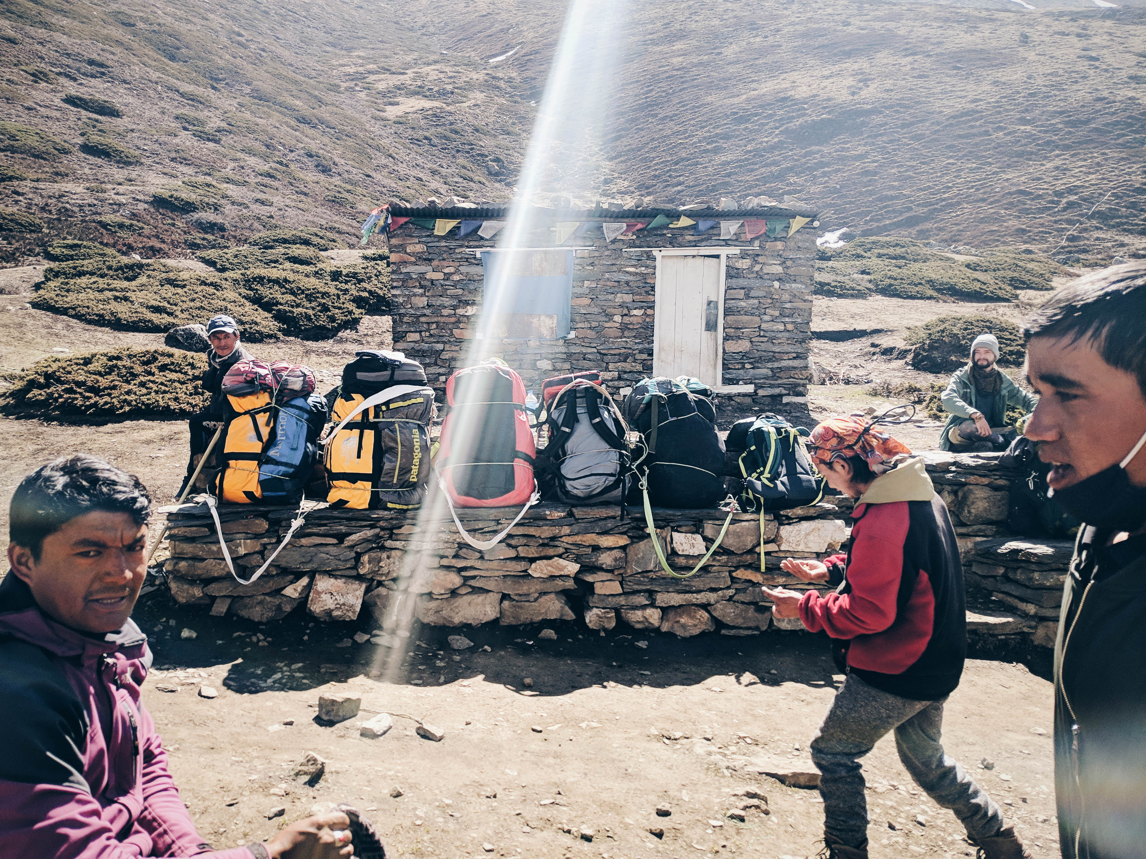
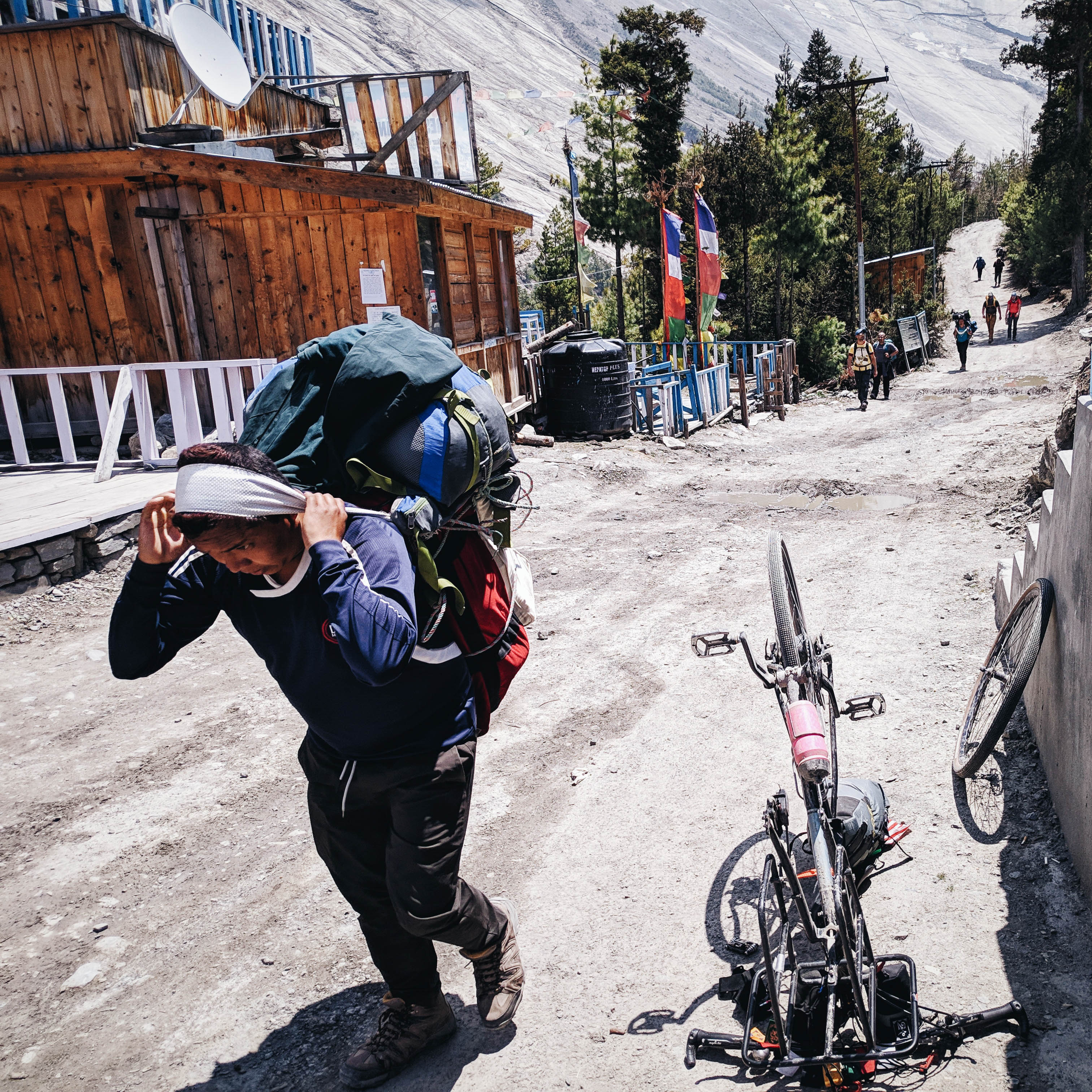
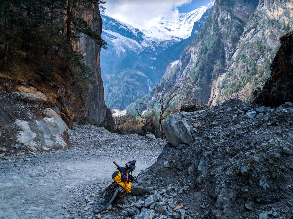
The landslide area is similar to the infamous Tilicho lake trail and extra caution needs to be taken from the flying rocks, which occurs when animals pass at the top of the mountain. There is a makeshift bank where you can duck under when rocks are falling, creating a bottle neck on the trail during peak hours. It was difficult to pass by bicycle, with loose gravel and a deep ravine on your right side, so you should time yourself properly and scram to the other side of the bank.
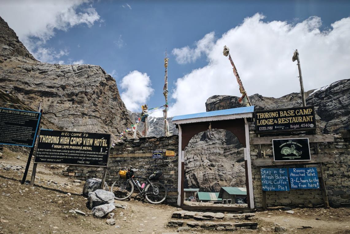
Not long after the landslide area, we reached Thorung Phedi Base Camp. There are two lodges within the Base Camp, or you can opt for an extra 400m elevation hike to Thorong High Camp for the last accommodation. We decided to base at Phedi for the day – the food price was the most expensive within the trek, reflecting the elevation of 4,540m from sea level – the highest stay within the trek for us. At Thorung Phedi, you can encounter the elusive Ibex mountain goats and several mountain pheasants within the vicinity.
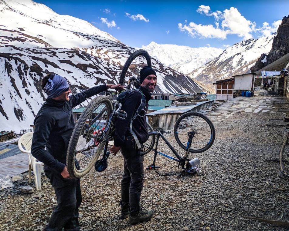
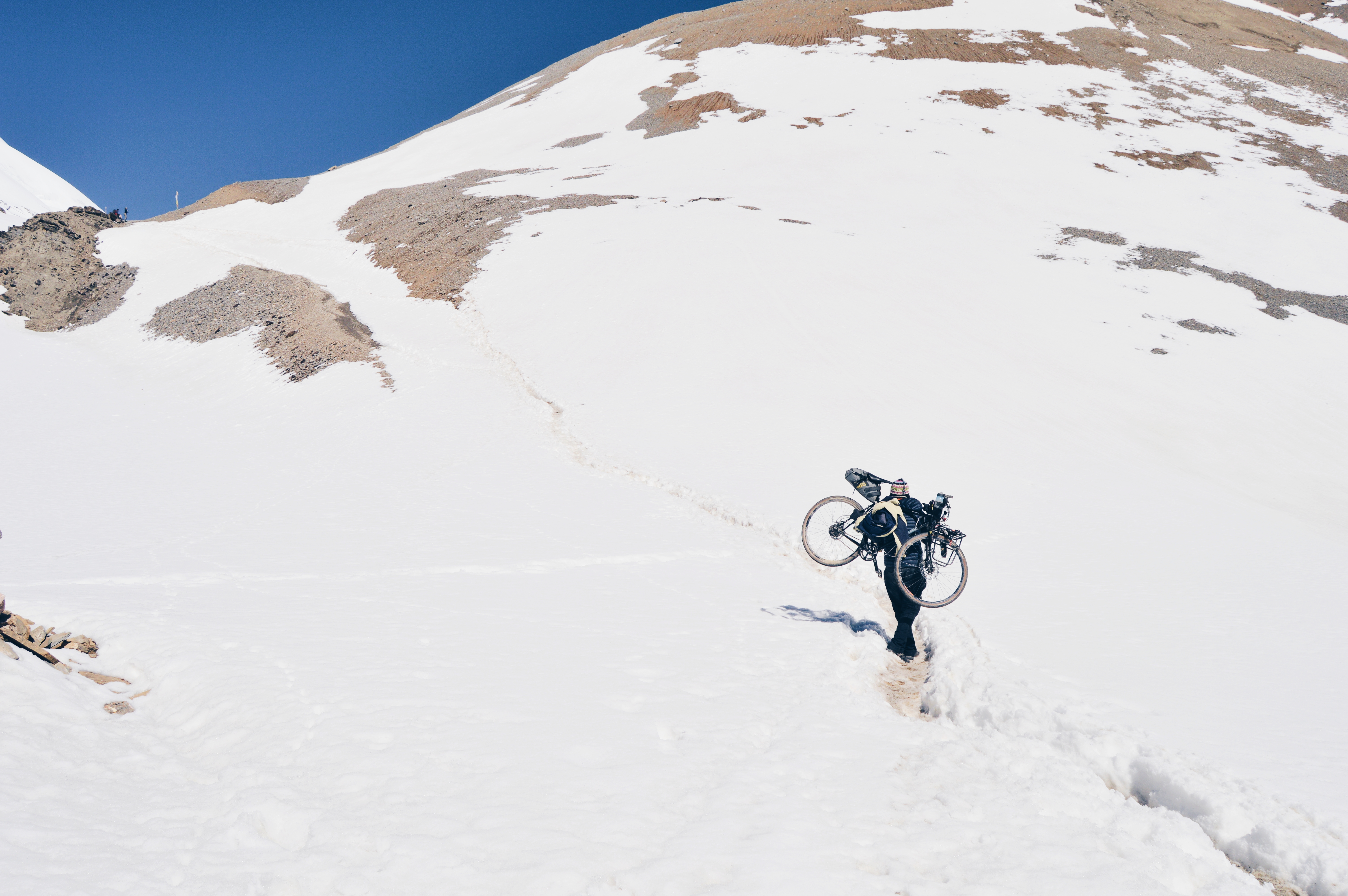
We scouted the route and did the acclimatisation walk to High Camp viewing point, trying to get the feel of how to navigate the next day. It is definitely not rideable and several configurations to carry the bikes manually were tested (thanks to Voile Straps).
I got myself a hearty dhal bat (1,000 NPR) and cinnamon rolls for dinner and snoozed by 2100 hours. Sleeping at high altitude is not pleasant; I woke up multiple times in the middle of the night with a panic attack of sorts and elevated heart rate. It was the coldest night of my life – my Protrek read -13°C during pee break at 0245 hours.
Day 9 – Summit day: Thorong Phedi (4,540m MSL) – Thorong La (5,416m MSL) – Muktinath (3,800m MSL)
This section covers an approximately 5km climb with around 900+ m elevation gain to Thorong La Pass and roughly another 10km 1,700m descent to Muktinath.
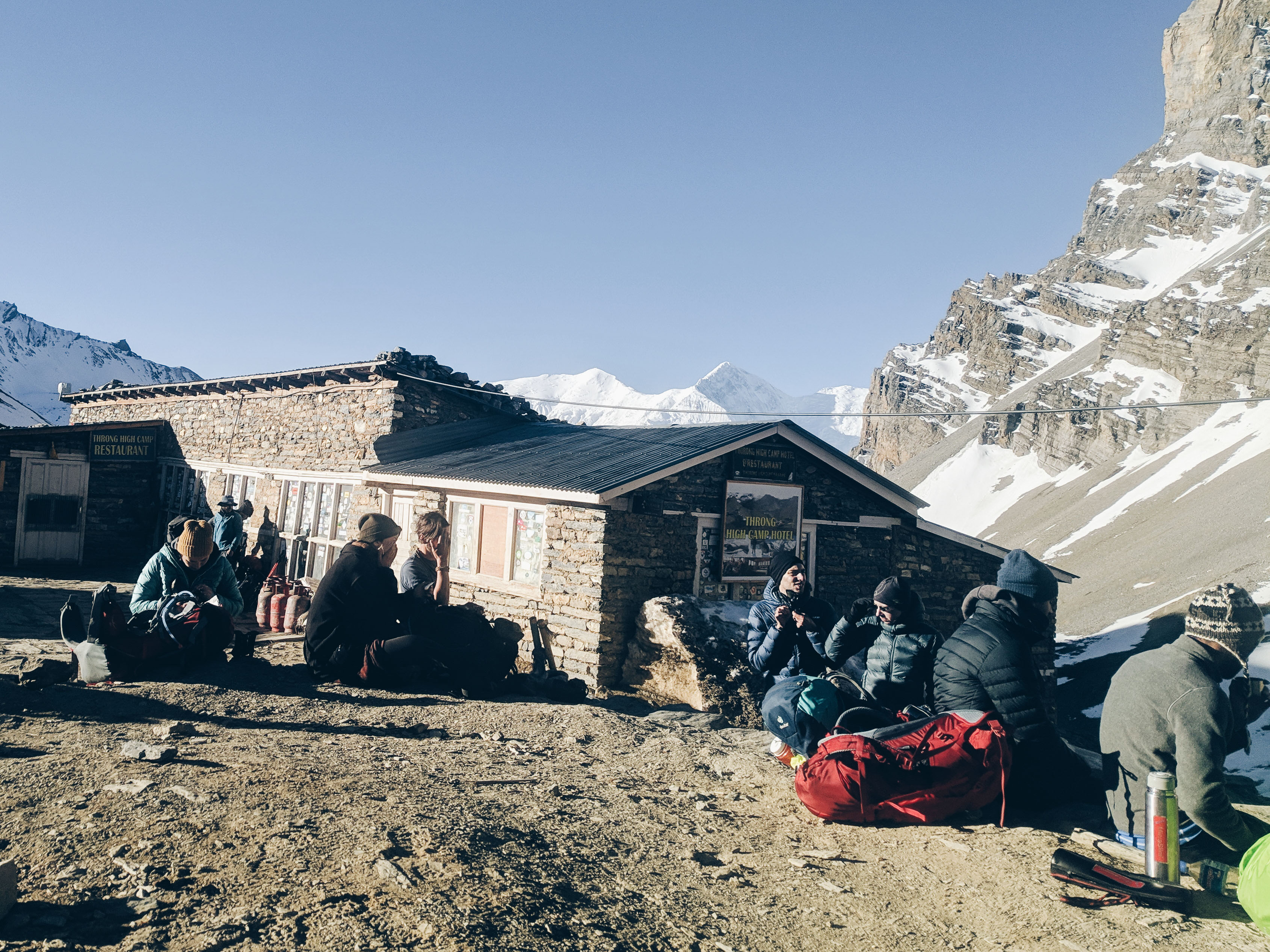
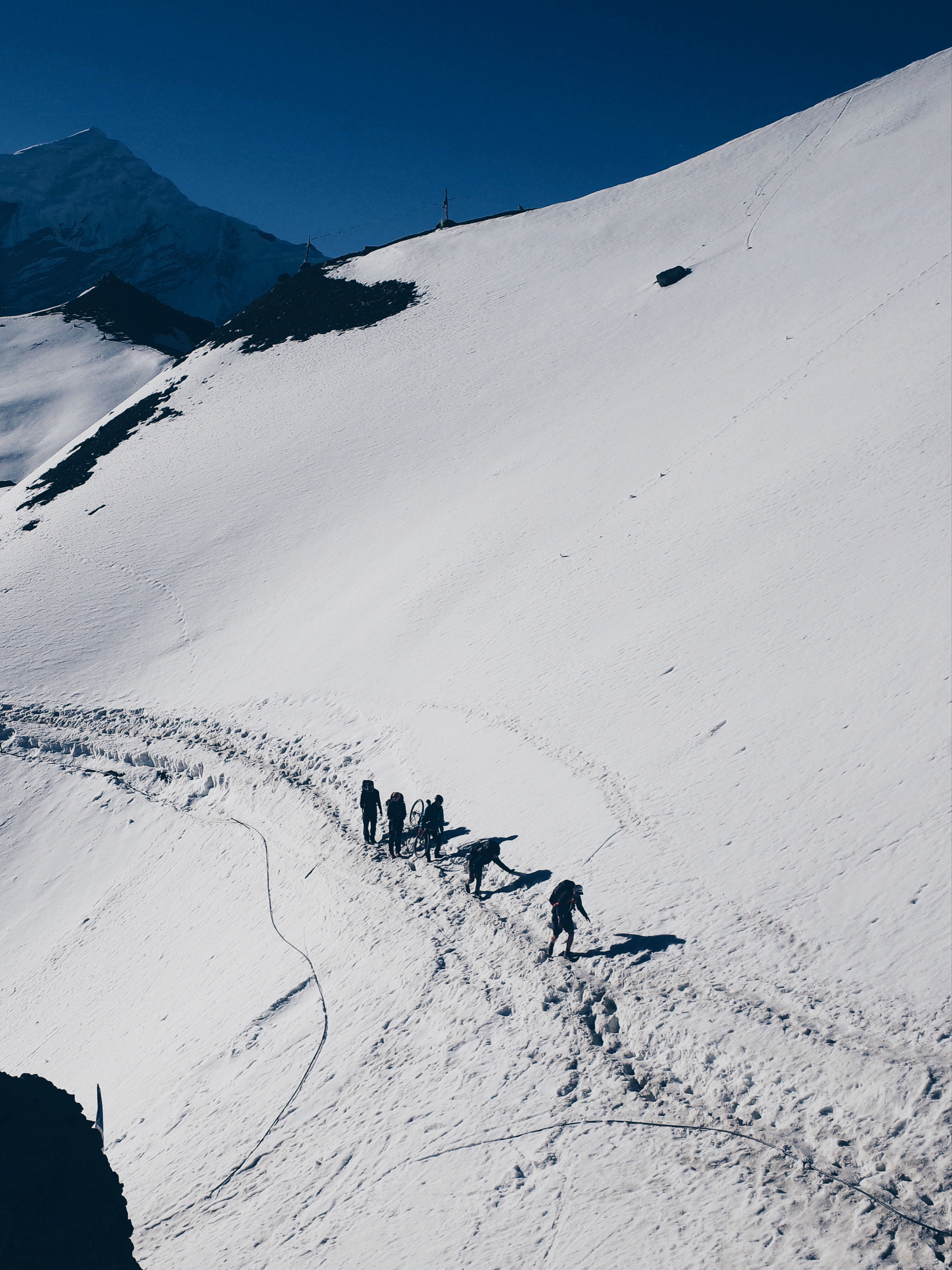
The Francescos and I gathered at the guesthouse dining area at 0500 hrs for a quick breakfast before heading out to hike-a-bike through the steep hills with our headlights. At -5°C, the small water stream within the climb had turned into slippery ice. It would have been better if we carried the bicycles and secured them at High Camp during the acclimatisation walk the day before, then pick it up along the way to Thorung La, as this early segment to High Camp was really steep for a 15+ kg load in total darkness and icy conditions.
We survived nevertheless and arrived at High Camp for a short Haribo break with other trekkers. When you do this section, sunrise is on your back as you are heading West so don’t forget to look back sometimes.
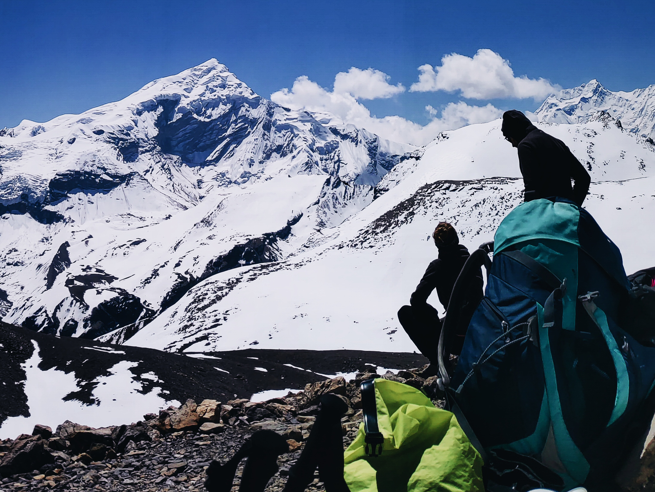
Continuing from Thorong High Camp, the course became more treacherous – proper rough stuff material – as we enter the >5,000m MSL elevation mark. The fit Francescos were already ahead and many trekkers started to pass me. The panorama and landscape were like no other and with oxygen deficiency in your brain, you get that surreal and dreamlike feeling.
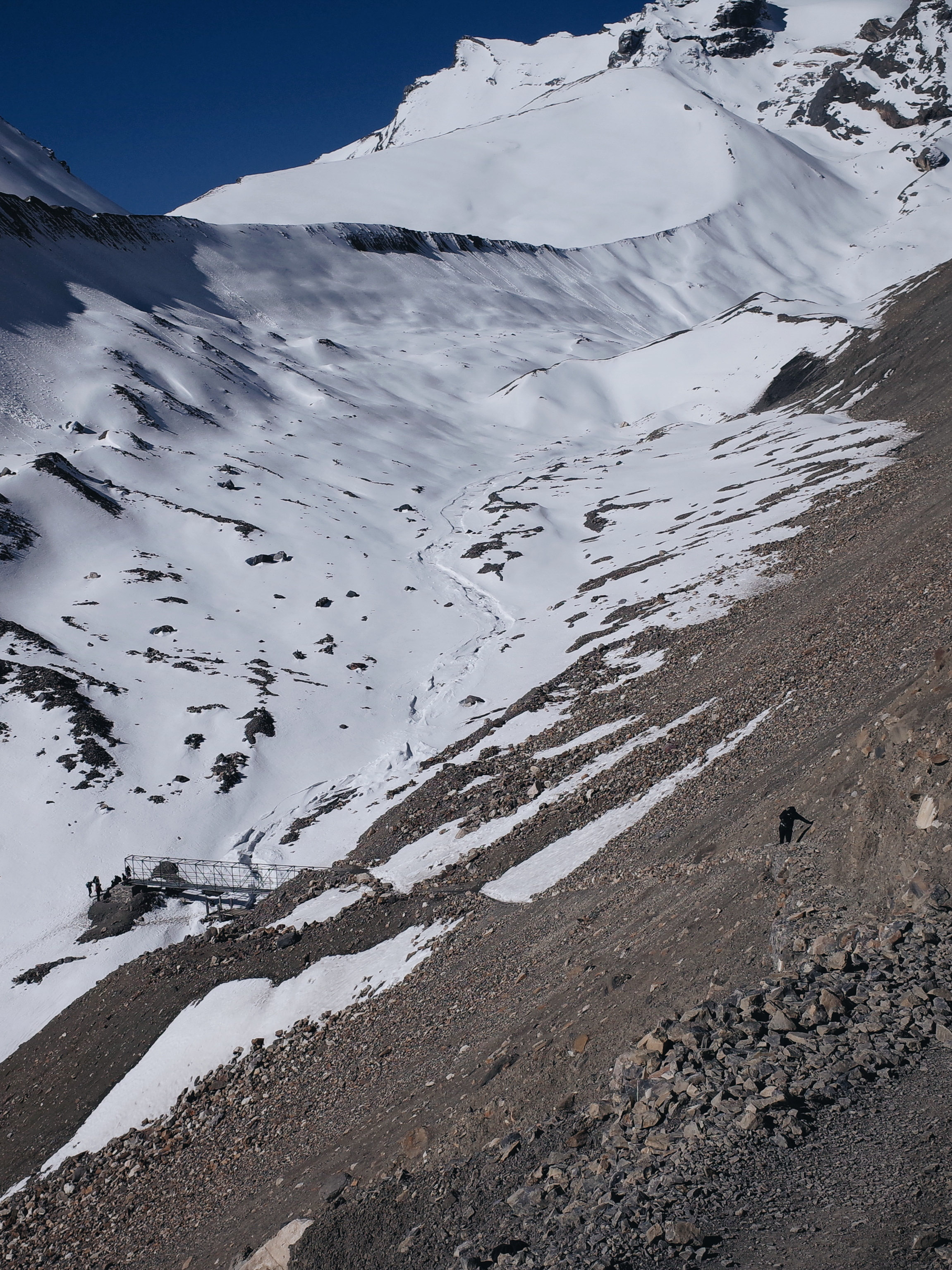
Another significant checkpoint for this section was the steel bridge, after which you will arrive at a small stone structure landmark. Most trekkers take the second break of the day here. At this point, I had already started to get AMS symptoms but with less than 2km to Thorong La, I thought I can make it safely as it would be a proper descent after the pass.
Back to the course, I made company with a Czech trekker named Jana. We were both in the same situation, bonking and dragging our feet with our partners ahead of us, so we decided to watch each other’s backs – two steps, three breaths per revolution, while enduring the hope of the many false summits.
At approximately 1 km remaining to the pass, a German couple – I remember talking to them in Churi Letdar rest area – was making their return. We thought of giving them some encouragement to continue but the guy told us that he was not able to see the trail. In total, there were six trekkers who returned from this section, emphasising the importance of proper acclimatisation prior to hitting 5,000+ m MSL elevation.
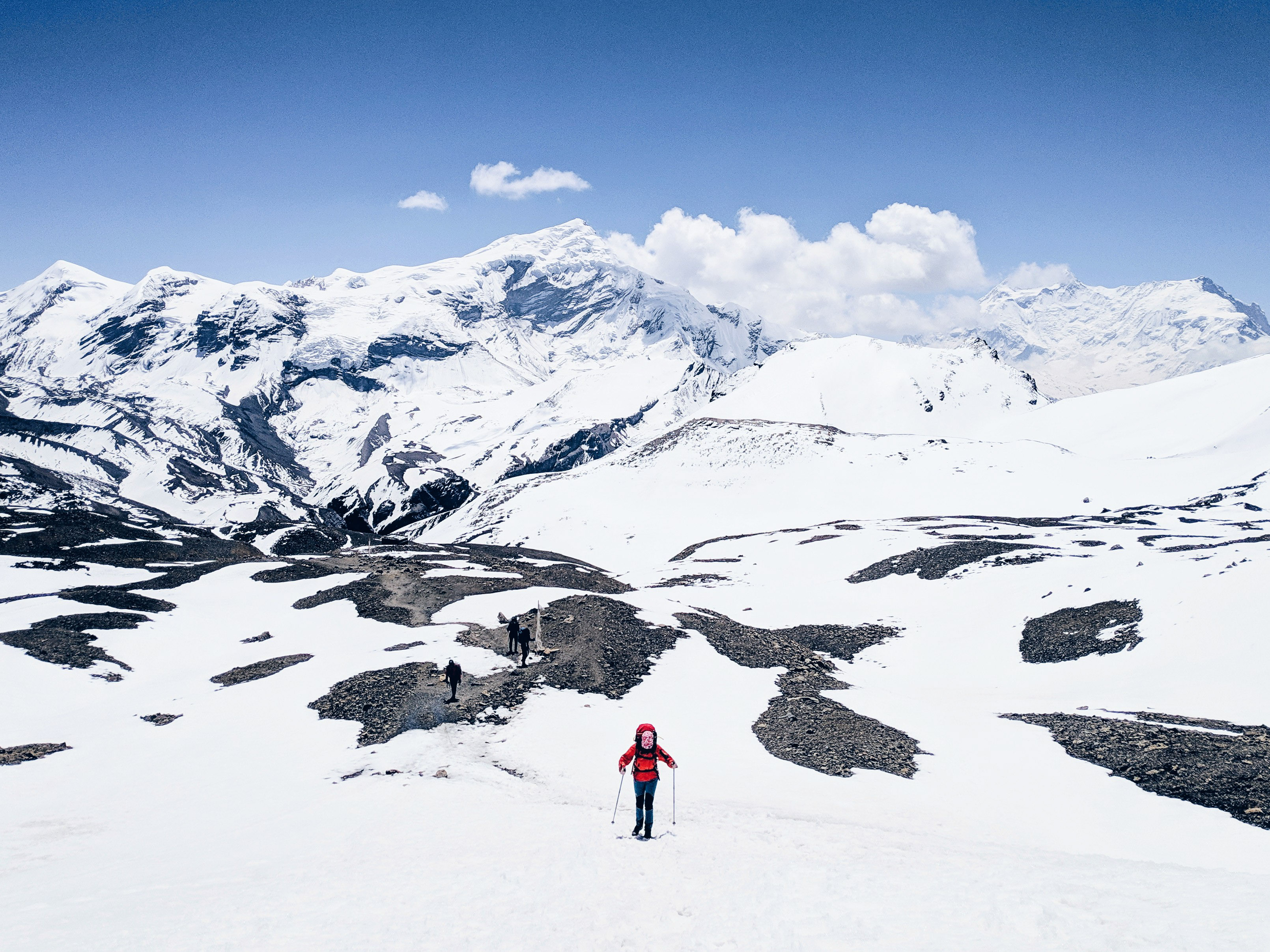
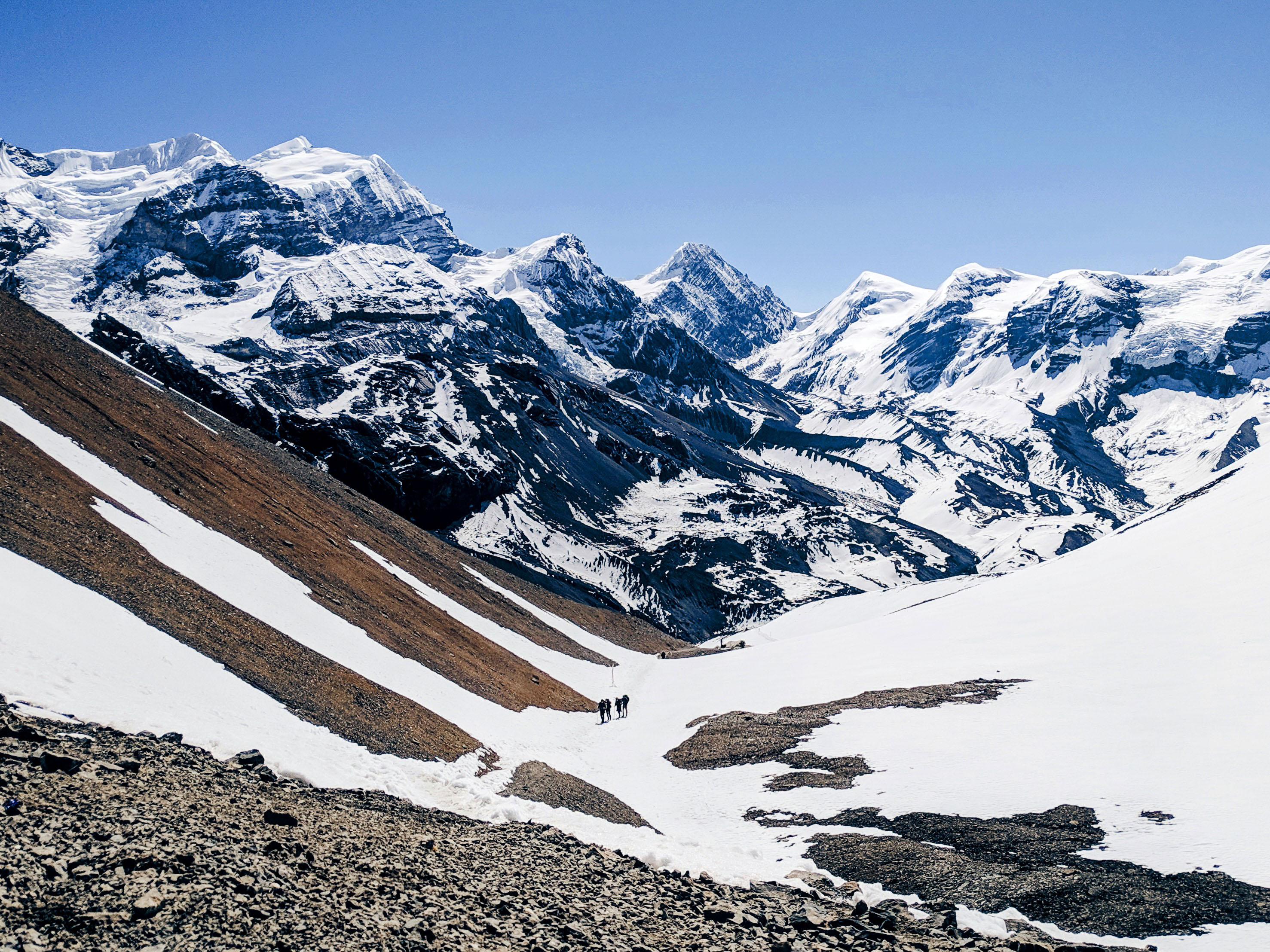
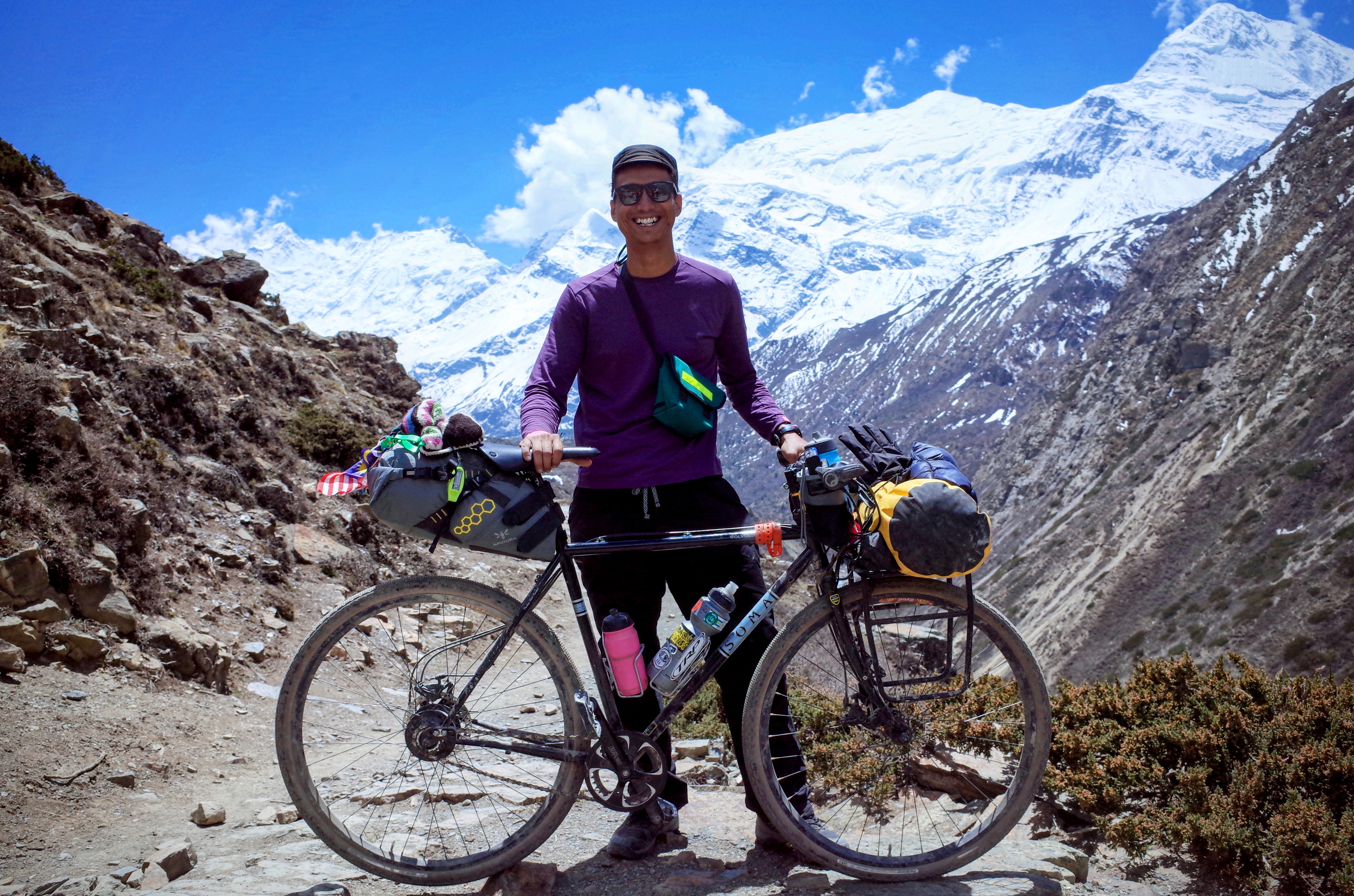
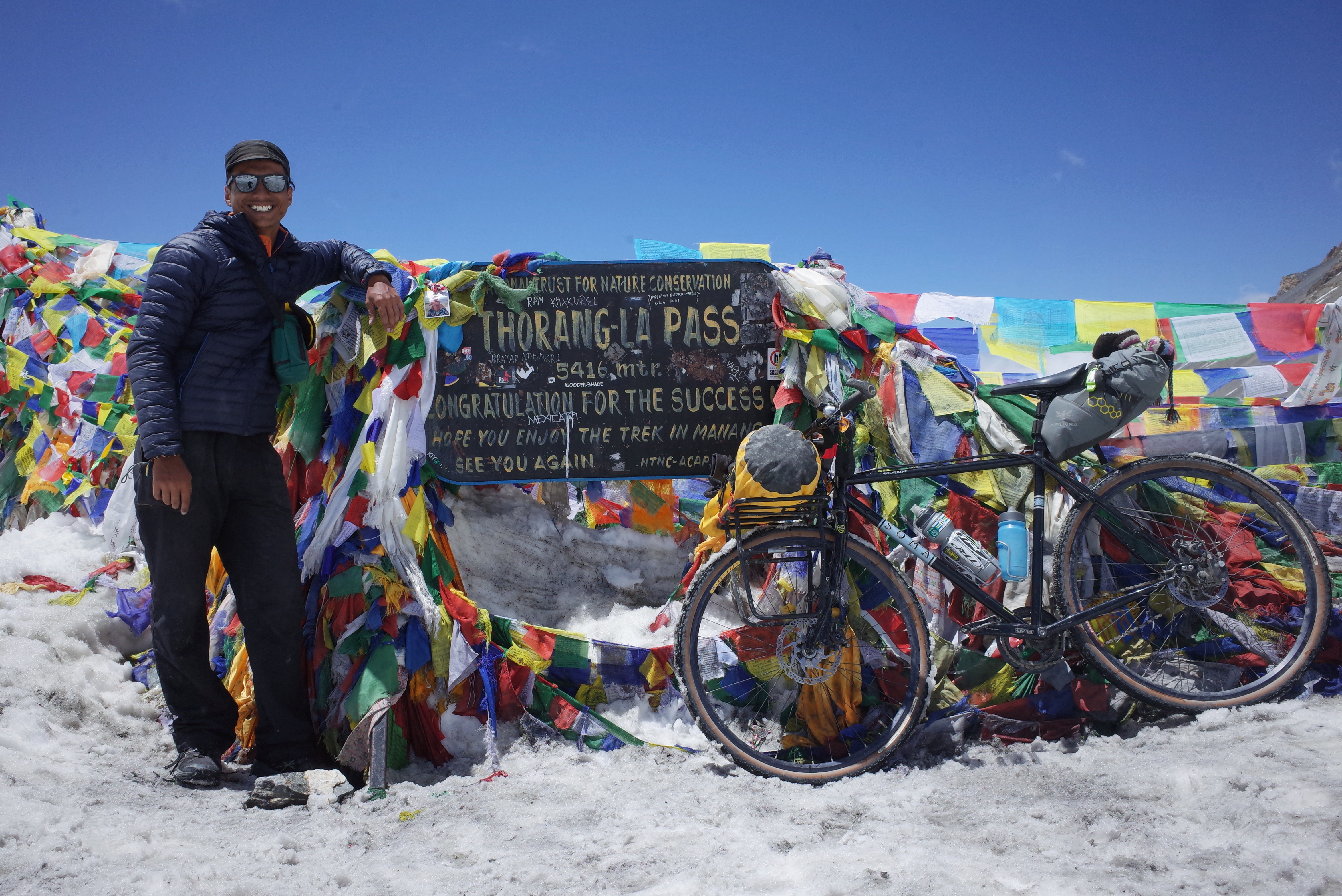
I was super thrilled when shades of the prayer flag appeared from about 200m to the pass. We started to hear people cheering and paced ourselves faster and finally arrived at Thorong La at noon. The Francescos and Jana’s partner were waiting for us and we had ourselves a celebratory tea at the small teahouse. Having lived on sea level and tropical climate most of my life, it was a personal achievement to scale 5,416m/17,769 feet with a bicycle, unassisted. There was a saying that Thorong La is the highest public pass in the world – an actual pass that connects local villages (Manang-Muktinath).
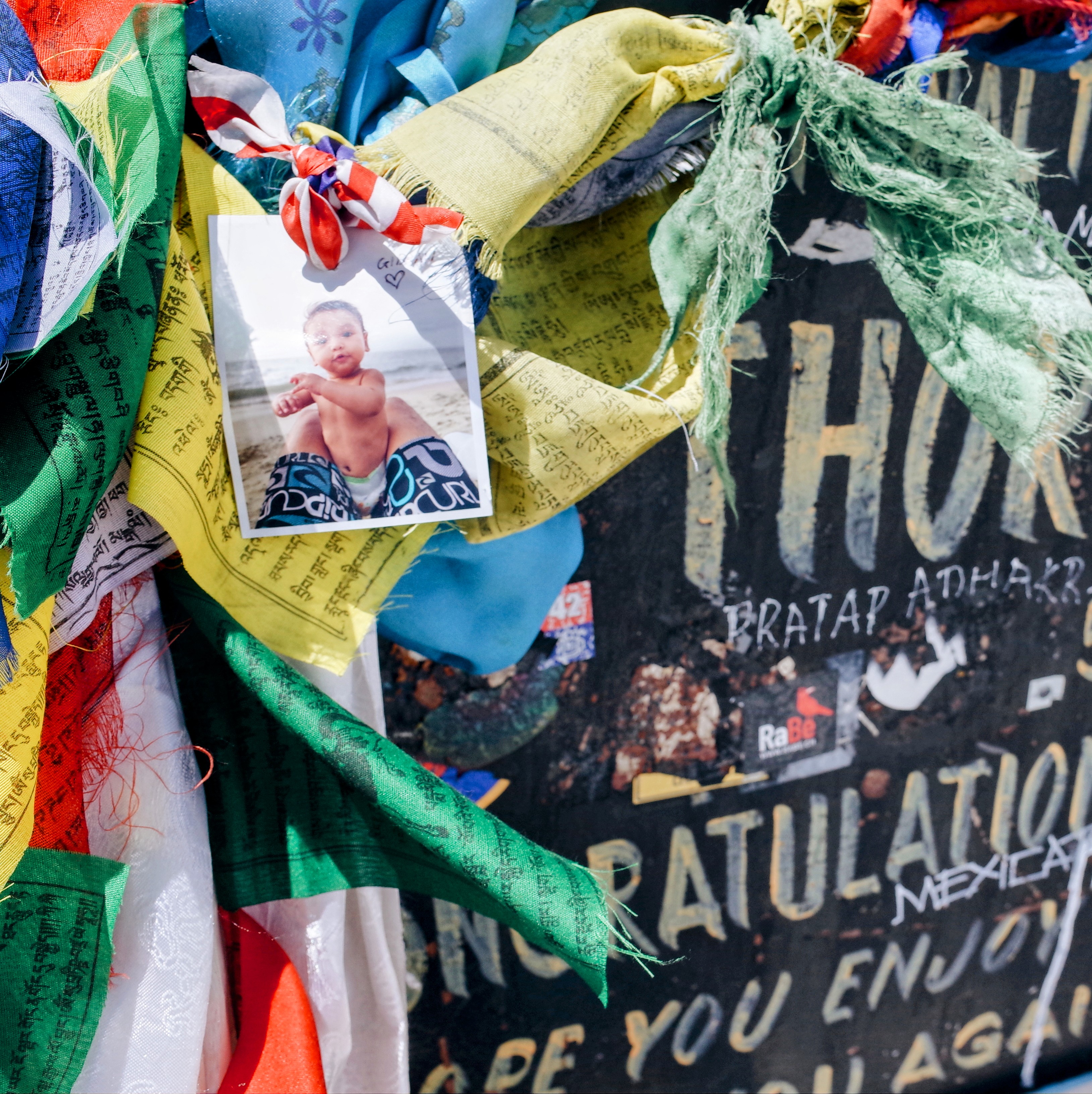
I donated my Mont Bell shell jacket to the teahouse operator as I wouldn’t be needing it anymore, tied down Gibran’s photo and a Malaysian flag amidst the prayer flags, and posed for the obligatory photos at the signboard before heading down.
The fun part (or so we thought) began when three of us rode down and started our descend. This was new to me, manoeuvring my bicycle by actually skidding and sliding sideways through the guide poles on the snowy trail. The descent was literally through thick clouds – I was definitely elated, a kind of similar emotional state to when I experienced snow for the first time during my schooling days in the UK.
A quarter way down, we found a guy wandering off course, walking like a drunk. We stopped to check on him – a German man mumbling repeatedly, “I screwed up, I am gonna die” – and he pulled out his TIMS card to show his insurance contact number.
Of course, there was no phone coverage at this altitude, so we gave him water and what was remaining from our pouches, and decided it would be faster to descend by bicycle to get assistance. The Francescos took care of the guy, guiding him to descend properly while I was doing slaloms on my bike before reaching a group of trekkers further down to explain the situation. We waited at the first teahouse at the foot of the climb to regroup and hand him over for treatment.
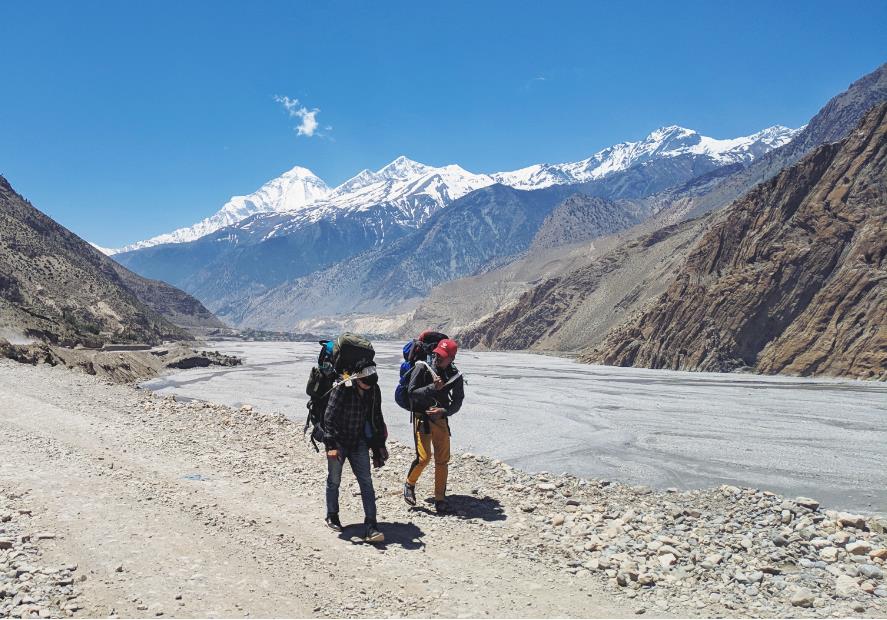
The Francescos and I then stayed for black tea and hot noodles while processing what had happened. We missed the opportunity to document the massive panorama during descent (there was a single-track section with Dhaulagiri in the background) due to the urgency of the rescue but in the end, we were all glad that we managed to help him out.
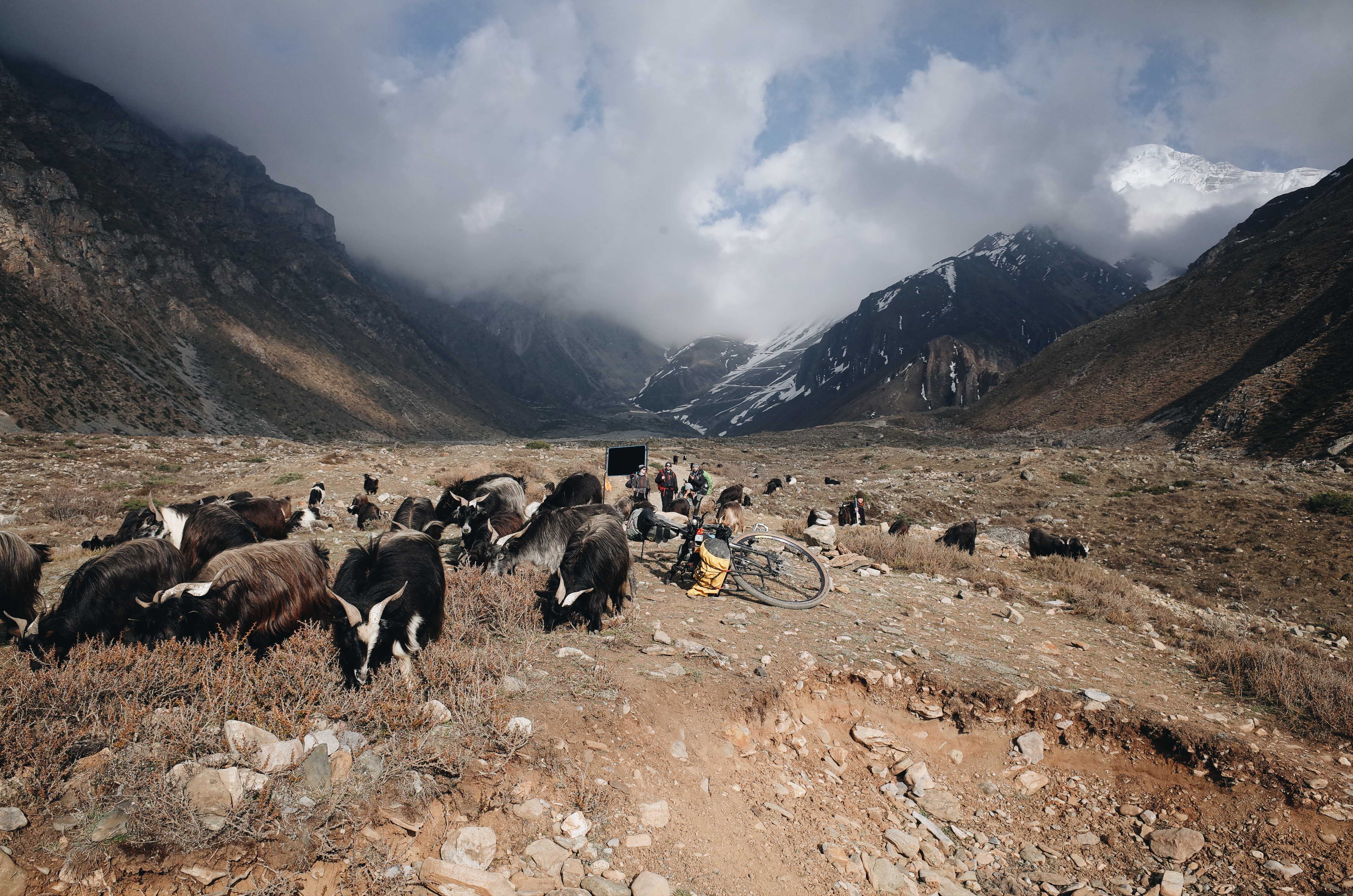
We continued to ride after the teahouse; this time, it was proper mountain biking/downhill stuff – big descends with large rocks and dry single track. I would suggest using a bicycle with at least front suspension and hydraulic brakes when doing this circuit. A rigid bicycle is manageable but not ideal as it will result in wrist and body aches from the ride vibrations. There is a long suspension bridge approaching Muktinath where I had a big fall after my handlebar got caught in the net and was lucky not to fall into the gorge. So keep in mind that on long suspension bridges, the net becomes narrower towards the middle.
After reaching the small town and stamping our permits at the ACAP checkpoint, we checked into a proper hotel and rewarded ourselves with Yak steak and commemorative Gorkha pints for the evening.
Day 10-13: Muktinath (3,800m MSL) – Kagbeni (2,804m MSL) – Marpha (2,670m MSL) – Tatopani (1,200m MSL) – Pokhara (820m MSL)
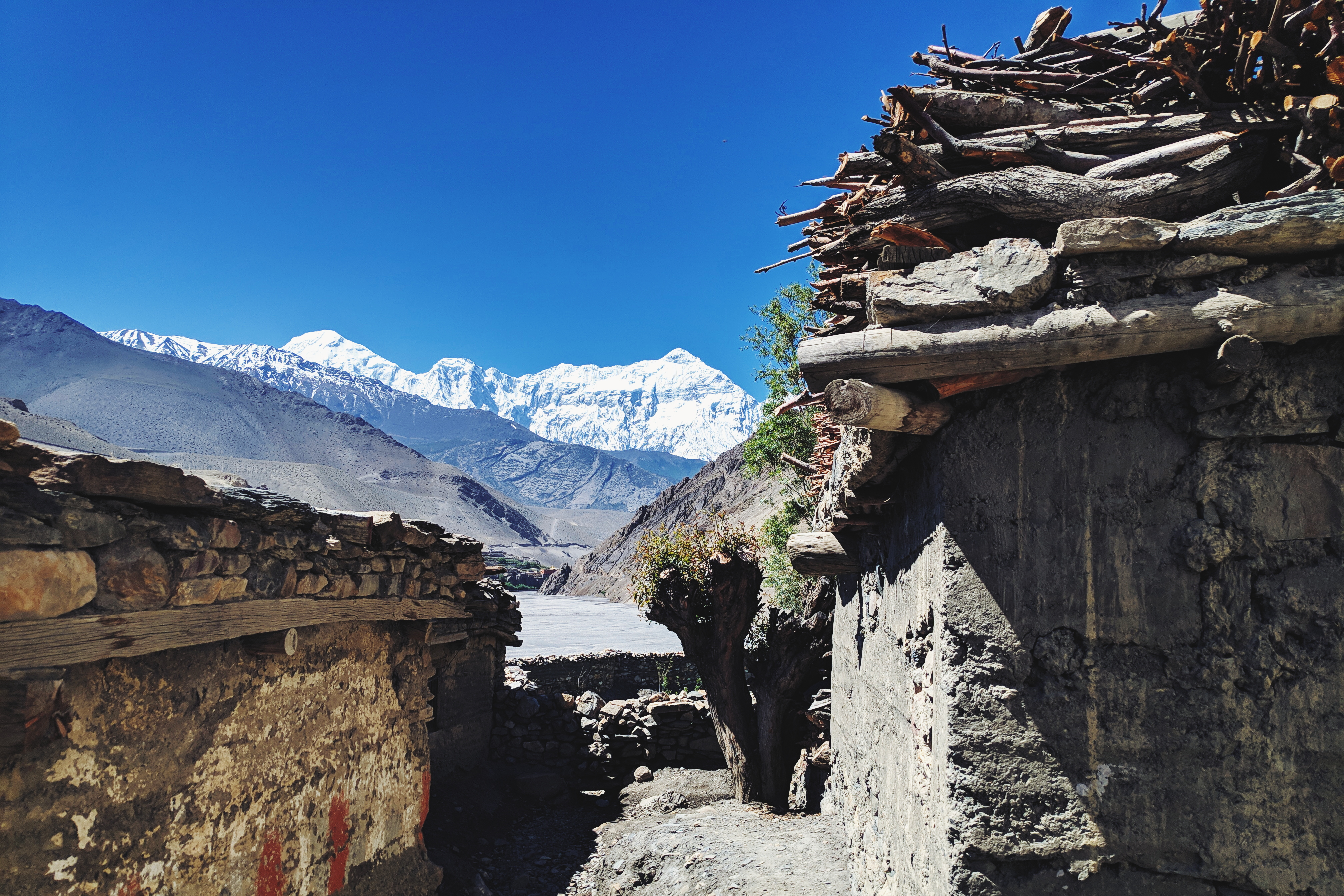
This section covers the Lower Mustang region until the end of the journey in Pokhara. There is much to discover socially and culturally within this region as the people are different, the landscape is more barren with different mountain range views (Dhaulagiri and Nilgiri range), and greetings change to Tashi Delek instead of Namaste.
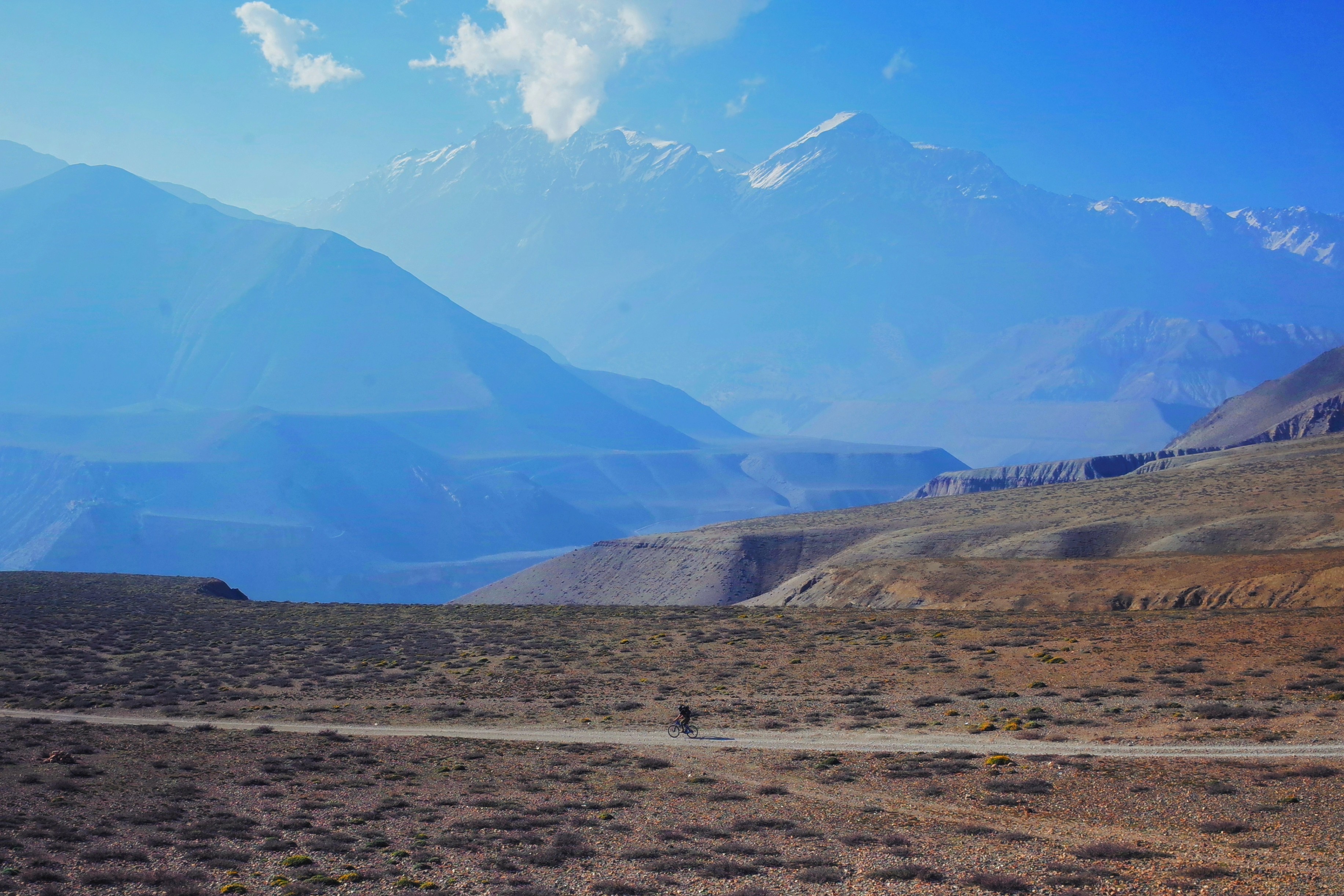
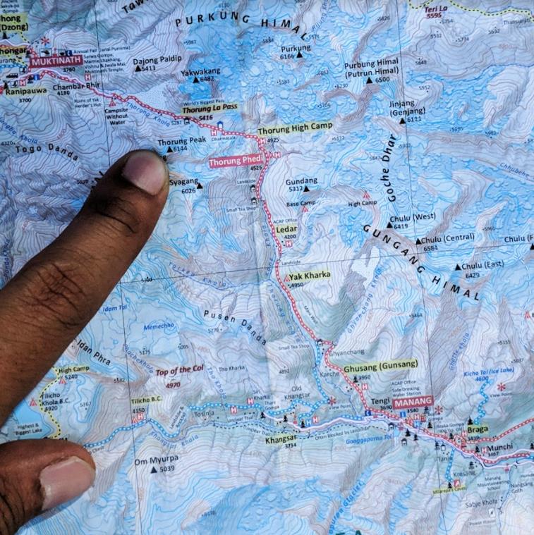
There are several routes going out from Muktinath. After studying the map, we chose to cut through local villages via Jhong instead of the main road. Tip: if you trek conventionally by foot, you can rent a bicycle and ride downhill from here and return the bike at one of the many drop-off points through the circuit, such as Tatopani, Beni, or Pokhara.
The climate was different from before; the weather was warmer and headwinds hit you up from late morning onwards. The distance was not far as we reached Kagbeni at tea time after some scenic rides along the Kali Gandaki, the world’s deepest gorge.
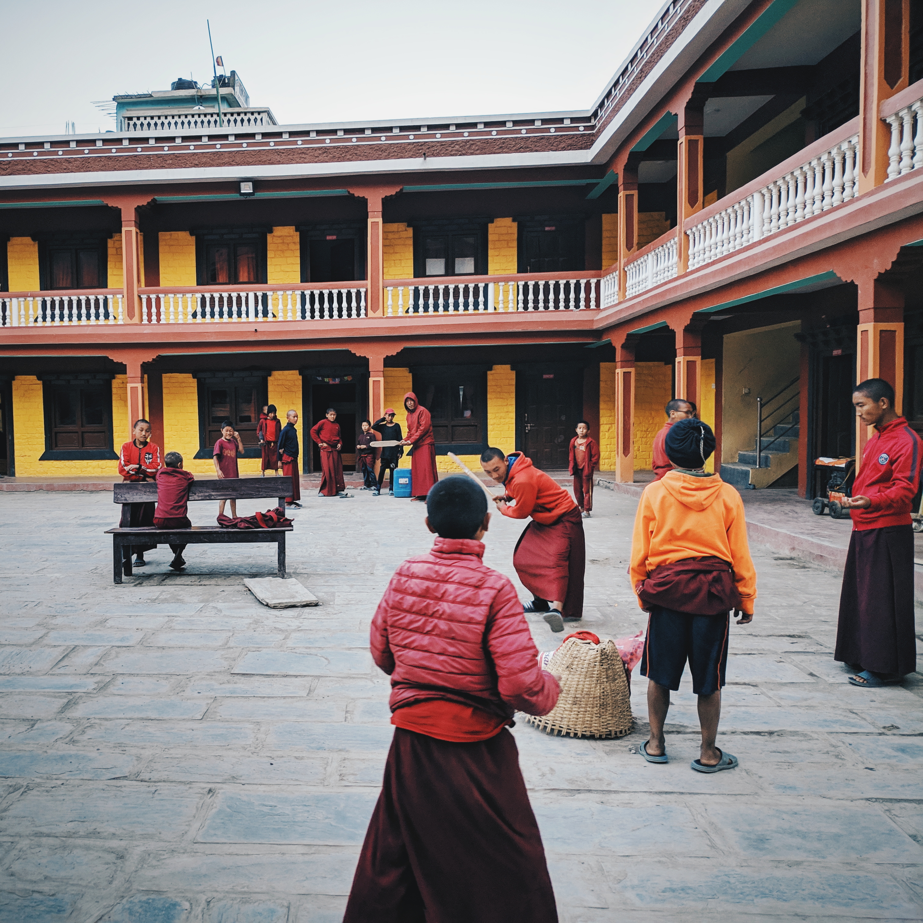
Kagbeni is a nice relaxing place, probably my favourite within this Lower Mustang Region, as they have quirky charms like the Kag Chode Tibetan monastery and school (previous monasteries and gompa in Braka/Manang sections were not alive and only open via caretaker); as well as food spots such as Yakdonald and other local pastries and café that served local apple produce. We decided to stay for the evening after discovering that you can enter Upper Mustang up to Tiri by daylight. Upper Mustang is infamously known for its expensive entry permit and daily charges so we grabbed the free option of riding into Tiri the next day.
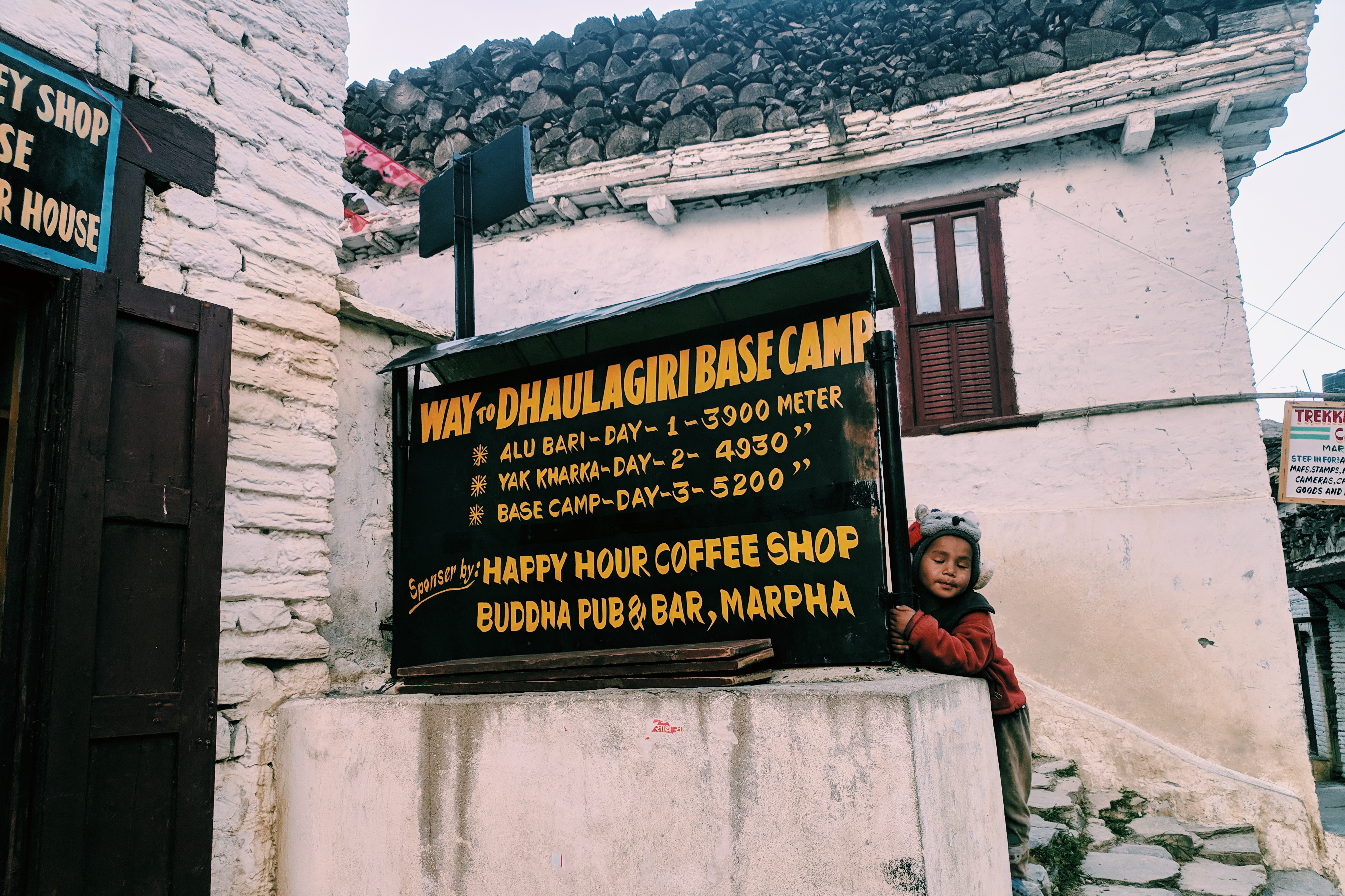
After the Tiri excursion, we moved further down via the gravel road to Marpha. This section was involved in several river crossings and needed extra care from upcoming buses and trucks. We did a side track to Dhumba lake near Jomsom to avoid the traffic and reach Marpha at around tea time, enough time for a local hike around the village. Marpha is an underrated hamlet with similar vibes as Kagbeni, but with Nilgiri views.
One of the Francescos was hit by a stomach bug (definitely got that from the Pani Puri break during our side trek) and they decided to head back to Pokhara the next day via bus. At this section, I think we all had less motivation to continue the circuit.
Looking back, I think it was due to the mind being preoccupied to clear Thorong La pass, or maybe it’s just the body responding to fatigue from the past week as the adrenaline wore off. This is true for traditional trekkers as well, where most of them end their Annapurna Circuit trip at Muktinath by bus and some fly back to Pokhara via the small airstrip in Jomsom.
The excitement drops as I write this down too, echoing the same numbness experienced at that time. So if you all plan to do this circuit, be prepared for this hazy feeling after the Marpha segment and have a correct mindset post-Thoring La.
The next day, we parted ways at noon near Marpha’s bus shack and I continued riding 50km down straight to Tatopani as I didn’t find places after Marpha inviting. It was now back to Nepali vibes – the Tibetan influences had faded away and we were back in tropical climate.
Tatopani temperatures were still cool and refreshing, especially in the evening as elevation was still above 1,000m MSL. If I had the right state of mind at that time, I would ride further down and park my bicycle at Ghorepani just before the 3,000+ steps to Poon Hill and continue hiking to Annapurna Sanctuary trek (Annapurna Base Camp, ABC).
Instead, I decided to officially end this journey at Tatopani’s famous hot spring. The open bath area with natural hot water flowing from underground was perfect for physical recovery and clearing anxiety from the post-Thorong La blues.
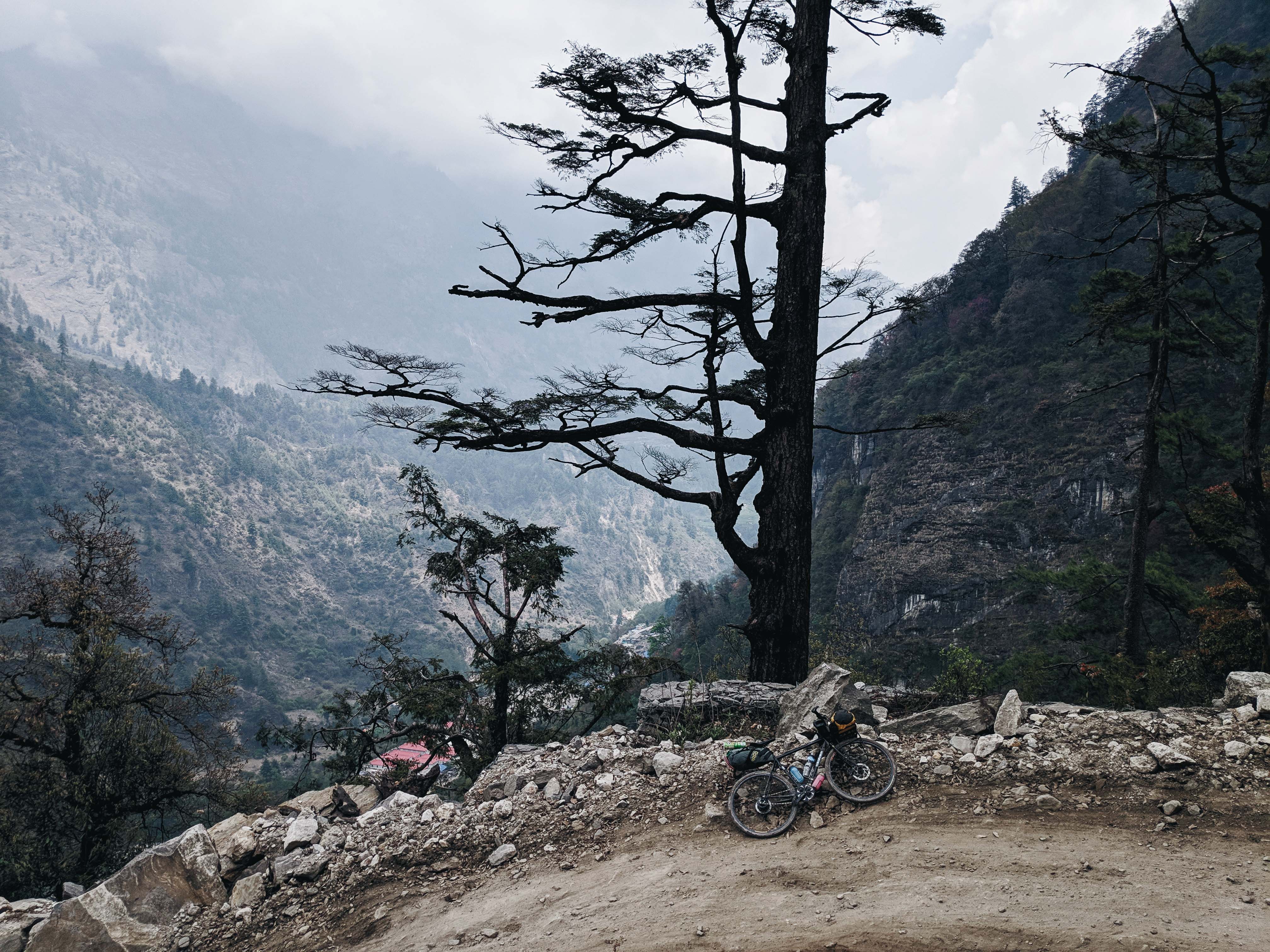
The next morning, I continued riding towards Beni and the excursion was interrupted by a major landslide, blocking the whole road from both sides. At this point, I have had enough, so I did the hike-a-bike and climbed across rocks and rubble to the other side of the blockage, slotted myself into a jeep, and paid for a trip to Pokhara.
Thus marked the end of my Annapurna Circuit journey.
